Voznica geodata
Voznica (Banskobystrický kraj) is a populated place; located in Slovakia in Europe/Bratislava (GMT+2) time zone. With population of 650 people, there are 162 cities with bigger population in this country. Compared to other cities in Slovakia, 70.6% of cities are located further ↑North; 60% of cities are located further →East and 61.2% of cities have higher elevation than Voznica. Note1


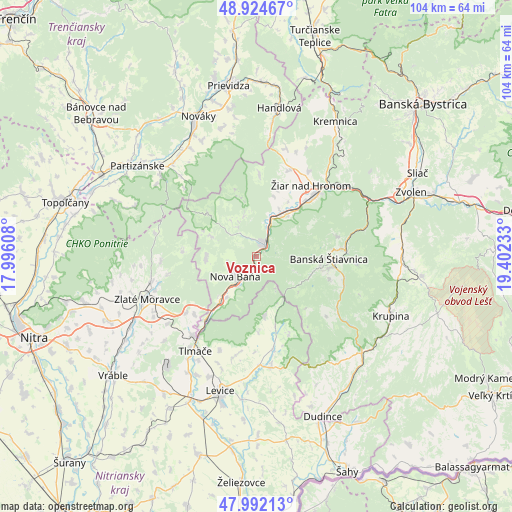
Voznica GPS coordinates[2]
48° 27' 37.944" North, 18° 41' 57.12" East
| Map corner | latitude | longitude |
|---|---|---|
| Upper-left | 48.92467°, | 17.99608° |
| Center: | 48.46054°, | 18.6992° |
| Lower-right: | 47.99213°, | 19.40233° |
| Map W x H: | 103.7×103.7 km | = 64.4×64.4mi |
| max Lat: | 49.43503° ⇑70.6% North |
| Voznica: | 48.46054° |
| min Lat: | ⇓29.4% South 47.76356° |
| min Long | Voznica | max Long |
| 16.9786° | 18.6992° | 22.18136° |
| W 40%⇐ | ⇒60% E |
Elevation
Elevation of Voznica is 215 m = 705 ft, and this is 121.1 m = 397 ft below average elevation for this country.
| Max E: |
1006 m = 3301 ft | 61.2% |
| Avg. | 336.1 m = 1103 ft | |
| Voznica | 215 m = 705 ft | |
Min E: |
102 m = 335 ft | 38.8% |
See also: Slovakia elevation on elevation.city.
Geographical zone
Voznica is located in North temperate zone (between Tropic of Cancer and the Arctic Circle). Distance of this North polar circle is 2012.9 km =1250.8 mi to North.| Distance of | km | miles | from Voznica |
|---|---|---|---|
| North Pole | 4618.8 | 2870 | to North |
| Arctic Circle | 2012.9 | 1250.8 | to North |
| Tropic Cancer | 2782.4 | 1728.9 | to South |
| Equator | 5388.3 | 3348.1 | to South |


Nearby cities:
15 places around Voznica: (largest is in red/bold)
• Banská Štiavnica
15.6 km =9.7 mi,  94°
94°
• Handlová
30 km =18.6 mi,  8°
8°
• Kováčová
33.6 km =20.9 mi,  62°
62°
• Kremnica
31.6 km =19.6 mi,  30°
30°
• Krupina
29.4 km =18.3 mi,  113°
113°
• Lehota pod Vtáčnikom
26.7 km =16.6 mi,  344°
344°
• Levice
28.1 km =17.5 mi,  194°
194°
• Nová Baňa
6 km =3.7 mi,  226°
226°
• Nováky
30.4 km =18.9 mi, 336°
• Partizánske
29.8 km =18.5 mi,  308°
308°
• Svätý Anton
18.4 km =11.4 mi,  104°
104°
• Tlmače
22.7 km =14.1 mi,  213°
213°
• Zlaté Moravce
23.6 km =14.7 mi,  249°
249°
• Žarnovica
2.6 km =1.6 mi, 27°
• Žiar nad Hronom
18.3 km =11.4 mi,  37°
37°
Sources, notices
• [Note1] Compared only with cities in Slovakia existing in our database
• [Src1] Map data: © OpenStreetMap contributors (CC-BY-SA)
• [Src2] Other city data from geonames.org with taken over terms of usage.
• [Src3] Geographical zone / Annual Mean Temperature by Robert A. Rohde @ Wikipedia
