Kayar geodata
Kayar (Thiès) is a populated place; located in Senegal in Africa/Dakar (GMT+0) time zone. With population of 17,193 people, there are 28 cities with bigger population in this country. Compared to other cities in Senegal, 70% of cities are located further ↓South; 93.3% of cities are located further →East and 81.7% of cities have higher elevation than Kayar. Note1


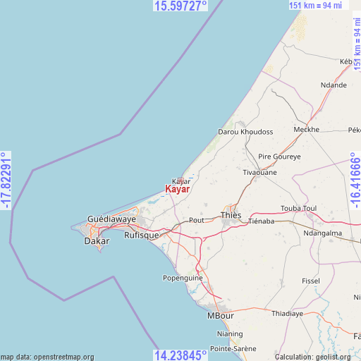
Kayar GPS coordinates[2]
14° 55' 8.148" North, 17° 7' 11.208" West
| Map corner | latitude | longitude |
|---|---|---|
| Upper-left | 15.59727°, | -17.82291° |
| Center: | 14.91893°, | -17.11978° |
| Lower-right: | 14.23845°, | -16.41666° |
| Map W x H: | 151.1×151.1 km | = 93.9×93.9mi |
| max Lat: | 16.51293° ⇑30% North |
| Kayar: | 14.91893° |
| min Lat: | ⇓70% South 12.485° |
| min Long | Kayar | max Long |
| -17.47581° | -17.11978° | -12.18076° |
| W 6.7%⇐ | ⇒93.3% E |
Elevation
Elevation of Kayar is 9 m = 30 ft, and this is 15.5 m = 51 ft below average elevation for this country.
| Max E: |
127 m = 417 ft | 81.7% |
| Avg. | 24.5 m = 80 ft | |
| Kayar | 9 m = 30 ft | |
Min E: |
0 m = 0 ft | 18.3% |
See also: Senegal elevation on elevation.city.
Geographical zone
Kayar is located in North Torrid zone (between Equator and Tropic of Cancer). Distance of this Northern Tropic circle is 947.1 km =588.5 mi to North.| Distance of | km | miles | from Kayar |
|---|---|---|---|
| North Pole | 8348.2 | 5187.3 | to North |
| Arctic Circle | 5742.3 | 3568.1 | to North |
| Tropic Cancer | 947.1 | 588.5 | to North |
| Equator | 1658.8 | 1030.7 | to South |


Nearby cities:
15 places around Kayar: (largest is in red/bold)
• Dakar
42.9 km =26.7 mi,  234°
234°
• Diofior
95.2 km =59.2 mi,  149°
149°
• Joal-Fadiout
89.1 km =55.4 mi,  159°
159°
• Khombole
48.2 km =30 mi,  110°
110°
• Mermoz Boabab
45 km =28 mi,  238°
238°
• Mékhé
57.5 km =35.7 mi,  68°
68°
• Nguékhokh
46.9 km =29.1 mi, 164°
• N’diareme limamoulaye
32.3 km =20.1 mi, 241°
• Pikine
33.8 km =21 mi, 239°
• Pourham
98.6 km =61.3 mi,  129°
129°
• Pout
17.6 km =10.9 mi, 159°
• Thiès
25.3 km =15.7 mi,  124°
124°
• Thiès Nones
22.3 km =13.9 mi, 132°
• Tiadiaye
71.8 km =44.6 mi,  141°
141°
• Warang
63.5 km =39.5 mi, 162°
Sources, notices
• [Note1] Compared only with cities in Senegal existing in our database
• [Src1] Map data: © OpenStreetMap contributors (CC-BY-SA)
• [Src2] Other city data from geonames.org with taken over terms of usage.
• [Src3] Geographical zone / Annual Mean Temperature by Robert A. Rohde @ Wikipedia
