Jayrūd geodata
Jayrūd (Rif-dimashq) is a seat of a third-order administrative division; located in Syria in Asia/Damascus (GMT+3) time zone. With population of 32,352 people, there are 41 cities with bigger population in this country. Compared to other cities in Syria, 76.3% of cities are located further ↑North; 61.5% of cities are located further ←West and 85.2% of cities have lower elevation than Jayrūd. Note1


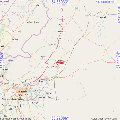
Jayrūd GPS coordinates[2]
33° 48' 25.524" North, 36° 44' 18.996" East
| Map corner | latitude | longitude |
|---|---|---|
| Upper-left | 34.38933°, | 36.03549° |
| Center: | 33.80709°, | 36.73861° |
| Lower-right: | 33.22086°, | 37.44174° |
| Map W x H: | 129.9×129.9 km | = 80.7×80.7mi |
| max Lat: | 37.17701° ⇑76.3% North |
| Jayrūd: | 33.80709° |
| min Lat: | ⇓23.7% South 32.39332° |
| min Long | Jayrūd | max Long |
| 35.75572° | 36.73861° | 42.14006° |
| W 61.5%⇐ | ⇒38.5% E |
Elevation
Elevation of Jayrūd is 815 m = 2674 ft, and this is 285.9 m = 938 ft above average elevation for this country.
| Max E: |
1640 m = 5381 ft | 14.8% |
| Jayrūd | 815 m 2674 ft | |
| Avg. | 529.1 m = 1736 ft | |
Min E: |
4 m = 13 ft | 85.2% |
See also: Syria elevation on elevation.city.
Geographical zone
Jayrūd is located in North temperate zone (between Tropic of Cancer and the Arctic Circle). Distance of this Northern Tropic circle is 1153.1 km =716.5 mi to South.| Distance of | km | miles | from Jayrūd |
|---|---|---|---|
| North Pole | 6248.1 | 3882.4 | to North |
| Arctic Circle | 3642.2 | 2263.2 | to North |
| Tropic Cancer | 1153.1 | 716.5 | to South |
| Equator | 3759 | 2335.7 | to South |


Nearby cities:
15 places around Jayrūd: (largest is in red/bold)
• Al Quţayfah
14.9 km =9.3 mi,  239°
239°
• An Nabk
24.1 km =15 mi,  357°
357°
• An Nashābīyah
40.4 km =25.1 mi,  215°
215°
• Ar Ruḩaybah
7.7 km =4.8 mi,  204°
204°
• Aḑ Ḑumayr
18.6 km =11.6 mi,  192°
192°
• Dayr ‘Aţīyah
32.2 km =20 mi,  4°
4°
• Douma
40.6 km =25.2 mi,  229°
229°
• Ma‘lūlā
18.4 km =11.4 mi,  283°
283°
• Qārah
38.8 km =24.1 mi, 0°
• Rankūs
32.9 km =20.4 mi,  260°
260°
• Yabrūd
19.5 km =12.1 mi,  337°
337°
• Şaydnāyā
36.2 km =22.5 mi,  249°
249°
• Ḩarastā
44.2 km =27.5 mi, 231°
• Ḩarrān al ‘Awāmīd
43.1 km =26.8 mi, 202°
• ‘Assāl al Ward
30.7 km =19.1 mi, 282°
Sources, notices
• [Note1] Compared only with cities in Syria existing in our database
• [Src1] Map data: © OpenStreetMap contributors (CC-BY-SA)
• [Src2] Other city data from geonames.org with taken over terms of usage.
• [Src3] Geographical zone / Annual Mean Temperature by Robert A. Rohde @ Wikipedia
