Al Qunayţirah geodata
Al Qunayţirah (Quneitra) is a seat of a first-order administrative division; located in Syria in Asia/Damascus (GMT+3) time zone. With population of 36,143 people, there are 38 cities with bigger population in this country. Compared to other cities in Syria, 89.4% of cities are located further ↑North; 99.3% of cities are located further →East and 90.5% of cities have lower elevation than Al Qunayţirah. Note1


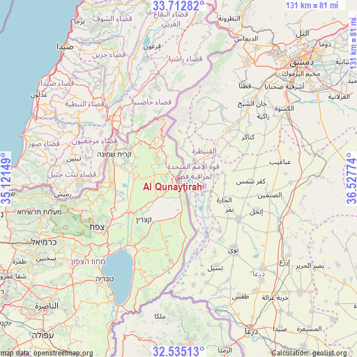
Al Qunayţirah GPS coordinates[2]
33° 7' 33.42" North, 35° 49' 28.596" East
| Map corner | latitude | longitude |
|---|---|---|
| Upper-left | 33.71282°, | 35.12149° |
| Center: | 33.12595°, | 35.82461° |
| Lower-right: | 32.53513°, | 36.52774° |
| Map W x H: | 130.9×130.9 km | = 81.3×81.3mi |
| max Lat: | 37.17701° ⇑89.4% North |
| Al Qunayţirah: | 33.12595° |
| min Lat: | ⇓10.6% South 32.39332° |
| min Long | Al Qunayţirah | max Long |
| 35.75572° | 35.82461° | 42.14006° |
| W 0.7%⇐ | ⇒99.3% E |
Elevation
Elevation of Al Qunayţirah is 942 m = 3091 ft, and this is 412.9 m = 1355 ft above average elevation for this country.
| Max E: |
1640 m = 5381 ft | 9.5% |
| Al Qunayţirah | 942 m 3091 ft | |
| Avg. | 529.1 m = 1736 ft | |
Min E: |
4 m = 13 ft | 90.5% |
See also: Syria elevation on elevation.city.
Geographical zone
Al Qunayţirah is located in North temperate zone (between Tropic of Cancer and the Arctic Circle). Distance of this Northern Tropic circle is 1077.3 km =669.4 mi to South.| Distance of | km | miles | from Al Qunayţirah |
|---|---|---|---|
| North Pole | 6323.8 | 3929.4 | to North |
| Arctic Circle | 3717.9 | 2310.2 | to North |
| Tropic Cancer | 1077.3 | 669.4 | to South |
| Equator | 3683.3 | 2288.7 | to South |


Nearby cities:
15 places around Al Qunayţirah: (largest is in red/bold)
• Al Kiswah
46.6 km =29 mi,  56°
56°
• Ash Shajarah
39.5 km =24.5 mi,  172°
172°
• Ash Shaykh Miskīn
45.4 km =28.2 mi,  136°
136°
• Aş Şanamayn
33.9 km =21.1 mi,  100°
100°
• Ghabāghib
37.8 km =23.5 mi,  80°
80°
• Inkhil
30.7 km =19.1 mi,  112°
112°
• Jāsim
26.5 km =16.5 mi,  124°
124°
• Khān Arnabah
9 km =5.6 mi,  44°
44°
• Mas‘adah
13.4 km =8.3 mi,  331°
331°
• Mazra‘at Bayt Jinn
24.2 km =15 mi,  21°
21°
• Nawá
33 km =20.5 mi, 142°
• Qaţanā
41.9 km =26 mi,  34°
34°
• Sa‘sa‘
25.1 km =15.6 mi,  46°
46°
• Tasīl
35.2 km =21.9 mi,  157°
157°
• Ţafas
48.8 km =30.3 mi,  152°
152°
Sources, notices
• [Note1] Compared only with cities in Syria existing in our database
• [Src1] Map data: © OpenStreetMap contributors (CC-BY-SA)
• [Src2] Other city data from geonames.org with taken over terms of usage.
• [Src3] Geographical zone / Annual Mean Temperature by Robert A. Rohde @ Wikipedia
