Inkhil geodata
Inkhil (Daraa) is a populated place; located in Syria in Asia/Damascus (GMT+3) time zone. With population of 29,076 people, there are 54 cities with bigger population in this country. Compared to other cities in Syria, 90.5% of cities are located further ↑North; 82% of cities are located further →East and 70% of cities have lower elevation than Inkhil. Note1


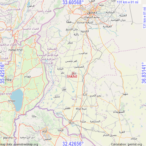
Inkhil GPS coordinates[2]
33° 1' 5.124" North, 36° 7' 41.808" East
| Map corner | latitude | longitude |
|---|---|---|
| Upper-left | 33.60568°, | 35.42516° |
| Center: | 33.01809°, | 36.12828° |
| Lower-right: | 32.42656°, | 36.83141° |
| Map W x H: | 131.1×131.1 km | = 81.5×81.5mi |
| max Lat: | 37.17701° ⇑90.5% North |
| Inkhil: | 33.01809° |
| min Lat: | ⇓9.5% South 32.39332° |
| min Long | Inkhil | max Long |
| 35.75572° | 36.12828° | 42.14006° |
| W 18%⇐ | ⇒82% E |
Elevation
Elevation of Inkhil is 623 m = 2044 ft, and this is 93.9 m = 308 ft above average elevation for this country.
| Max E: |
1640 m = 5381 ft | 30% |
| Inkhil | 623 m 2044 ft | |
| Avg. | 529.1 m = 1736 ft | |
Min E: |
4 m = 13 ft | 70% |
See also: Syria elevation on elevation.city.
Geographical zone
Inkhil is located in North temperate zone (between Tropic of Cancer and the Arctic Circle). Distance of this Northern Tropic circle is 1065.3 km =661.9 mi to South.| Distance of | km | miles | from Inkhil |
|---|---|---|---|
| North Pole | 6335.8 | 3936.9 | to North |
| Arctic Circle | 3729.9 | 2317.7 | to North |
| Tropic Cancer | 1065.3 | 661.9 | to South |
| Equator | 3671.3 | 2281.2 | to South |


Nearby cities:
15 places around Inkhil: (largest is in red/bold)
• Al Qunayţirah
30.7 km =19.1 mi,  292°
292°
• Al Ḩarāk
34.4 km =21.4 mi,  150°
150°
• Ash Shaykh Miskīn
21.2 km =13.2 mi,  172°
172°
• Aş Şanamayn
7.9 km =4.9 mi,  40°
40°
• Dā‘il
29.3 km =18.2 mi,  179°
179°
• Ghabāghib
20.4 km =12.7 mi,  26°
26°
• Izra‘
20.2 km =12.6 mi,  144°
144°
• Jāsim
7 km =4.3 mi,  245°
245°
• Khirbat Ghazālah
32.4 km =20.1 mi, 167°
• Khān Arnabah
28.7 km =17.8 mi,  309°
309°
• Mismīyah
27.7 km =17.2 mi,  63°
63°
• Nawá
16.4 km =10.2 mi,  210°
210°
• Sa‘sa‘
31 km =19.3 mi,  340°
340°
• Tasīl
25.3 km =15.7 mi,  215°
215°
• Ţafas
31.8 km =19.8 mi,  190°
190°
Sources, notices
• [Note1] Compared only with cities in Syria existing in our database
• [Src1] Map data: © OpenStreetMap contributors (CC-BY-SA)
• [Src2] Other city data from geonames.org with taken over terms of usage.
• [Src3] Geographical zone / Annual Mean Temperature by Robert A. Rohde @ Wikipedia
