Don Mueang geodata
Don Mueang (Bangkok) is a seat of a second-order administrative division; located in Thailand in Asia/Bangkok (GMT+7) time zone. In our database, there are 331 cities with bigger population. Compared to other cities in Thailand, 66% of cities are located further ↑North; 54.2% of cities are located further →East and 96.7% of cities have higher elevation than Don Mueang. Note1


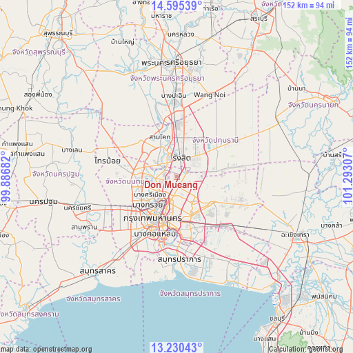
Don Mueang GPS coordinates[2]
13° 54' 50.112" North, 100° 35' 23.784" East
| Map corner | latitude | longitude |
|---|---|---|
| Upper-left | 14.59539°, | 99.88682° |
| Center: | 13.91392°, | 100.58994° |
| Lower-right: | 13.23043°, | 101.29307° |
| Map W x H: | 151.8×151.8 km | = 94.3×94.3mi |
| max Lat: | 20.43353° ⇑66% North |
| Don Mueang: | 13.91392° |
| min Lat: | ⇓34% South 5.77434° |
| min Long | Don Mueang | max Long |
| 97.93288° | 100.58994° | 105.49506° |
| W 45.8%⇐ | ⇒54.2% E |
Elevation
Elevation of Don Mueang is 6 m = 20 ft, and this is 119.5 m = 392 ft below average elevation for this country.
| Max E: |
1011 m = 3317 ft | 96.7% |
| Avg. | 125.5 m = 412 ft | |
| Don Mueang | 6 m = 20 ft | |
Min E: |
1 m = 3 ft | 3.3% |
See also: Thailand elevation on elevation.city.
Geographical zone
Don Mueang is located in North Torrid zone (between Equator and Tropic of Cancer). Distance of this Northern Tropic circle is 1058.8 km =657.9 mi to North.| Distance of | km | miles | from Don Mueang |
|---|---|---|---|
| North Pole | 8460 | 5256.8 | to North |
| Arctic Circle | 5854.1 | 3637.6 | to North |
| Tropic Cancer | 1058.8 | 657.9 | to North |
| Equator | 1547.1 | 961.3 | to South |


Nearby cities:
15 places around Don Mueang: (largest is in red/bold)
• Ban Bang Kadi Pathum Thani
10.4 km =6.5 mi,  335°
335°
• Bang Sue
12.9 km =8 mi,  206°
206°
• Bueng Kum
16.7 km =10.4 mi,  148°
148°
• Chatuchak
10 km =6.2 mi,  198°
198°
• Din Daeng
16.5 km =10.3 mi,  193°
193°
• Dusit
17 km =10.6 mi, 206°
• Huai Khwang
15.3 km =9.5 mi,  184°
184°
• Khan Na Yao
13.7 km =8.5 mi,  135°
135°
• Lat Phrao
12.4 km =7.7 mi,  171°
171°
• Mueang Nonthaburi
10 km =6.2 mi,  233°
233°
• Pak Kret
9.8 km =6.1 mi,  269°
269°
• Pathum Thani
12.8 km =8 mi,  329°
329°
• Phaya Thai
15.7 km =9.8 mi, 198°
• Sai Mai
6 km =3.7 mi,  82°
82°
• Wang Thonglang
14.5 km =9 mi, 170°
Sources, notices
• [Note1] Compared only with cities in Thailand existing in our database
• [Src1] Map data: © OpenStreetMap contributors (CC-BY-SA)
• [Src2] Other city data from geonames.org with taken over terms of usage.
• [Src3] Geographical zone / Annual Mean Temperature by Robert A. Rohde @ Wikipedia
