Nathom geodata
Nathom (Nakhon Phanom) is a seat of a second-order administrative division; located in Thailand in Asia/Bangkok (GMT+7) time zone. In our database, there are 331 cities with bigger population. Compared to other cities in Thailand, 86.5% of cities are located further ↓South; 91.5% of cities are located further ←West and 66.2% of cities have lower elevation than Nathom. Note1


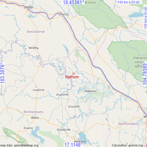
Nathom GPS coordinates[2]
17° 47' 7.296" North, 104° 5' 26.592" East
| Map corner | latitude | longitude |
|---|---|---|
| Upper-left | 18.45361°, | 103.3876° |
| Center: | 17.78536°, | 104.09072° |
| Lower-right: | 17.1146°, | 104.79385° |
| Map W x H: | 148.9×148.9 km | = 92.5×92.5mi |
| max Lat: | 20.43353° ⇑13.5% North |
| Nathom: | 17.78536° |
| min Lat: | ⇓86.5% South 5.77434° |
| min Long | Nathom | max Long |
| 97.93288° | 104.09072° | 105.49506° |
| W 91.5%⇐ | ⇒8.5% E |
Elevation
Elevation of Nathom is 162 m = 531 ft, and this is 36.5 m = 120 ft above average elevation for this country.
| Max E: |
1011 m = 3317 ft | 33.8% |
| Nathom | 162 m 531 ft | |
| Avg. | 125.5 m = 412 ft | |
Min E: |
1 m = 3 ft | 66.2% |
See also: Thailand elevation on elevation.city.
Geographical zone
Nathom is located in North Torrid zone (between Equator and Tropic of Cancer). Distance of this Northern Tropic circle is 628.4 km =390.5 mi to North.| Distance of | km | miles | from Nathom |
|---|---|---|---|
| North Pole | 8029.5 | 4989.3 | to North |
| Arctic Circle | 5423.6 | 3370.1 | to North |
| Tropic Cancer | 628.4 | 390.5 | to North |
| Equator | 1977.5 | 1228.8 | to South |


Nearby cities:
15 places around Nathom: (largest is in red/bold)
• Akat Amnuai
24 km =14.9 mi,  208°
208°
• Ban Muang
55.7 km =34.6 mi,  277°
277°
• Ban Phaeng
23.9 km =14.9 mi,  33°
33°
• Bueng Khong Long
20.1 km =12.5 mi,  346°
346°
• Kham Ta Kla
36.1 km =22.4 mi, 281°
• Kusuman
56.4 km =35 mi,  153°
153°
• Na Thom
0.1 km =0.1 mi,  168°
168°
• Na Wa
32.9 km =20.4 mi,  178°
178°
• Phanna Nikhom
54.5 km =33.9 mi, 207°
• Phon Charoen
48.7 km =30.3 mi,  304°
304°
• Seka
21.4 km =13.3 mi,  317°
317°
• Si Songkhram
24.4 km =15.2 mi,  136°
136°
• Si Wilai
57.1 km =35.5 mi, 320°
• Tha Uthen
58.7 km =36.5 mi,  113°
113°
• Wanon Niwat
39.6 km =24.6 mi,  244°
244°
Sources, notices
• [Note1] Compared only with cities in Thailand existing in our database
• [Src1] Map data: © OpenStreetMap contributors (CC-BY-SA)
• [Src2] Other city data from geonames.org with taken over terms of usage.
• [Src3] Geographical zone / Annual Mean Temperature by Robert A. Rohde @ Wikipedia
