Dong Charoen geodata
Dong Charoen (Phichit) is a seat of a second-order administrative division; located in Thailand in Asia/Bangkok (GMT+7) time zone. In our database, there are 331 cities with bigger population. Compared to other cities in Thailand, 65.5% of cities are located further ↓South; 52.2% of cities are located further →East and 54.6% of cities have higher elevation than Dong Charoen. Note1


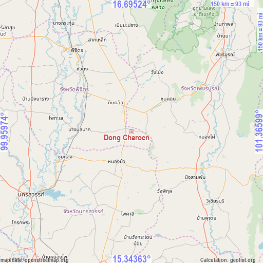
Dong Charoen GPS coordinates[2]
16° 1' 14.088" North, 100° 39' 46.296" East
| Map corner | latitude | longitude |
|---|---|---|
| Upper-left | 16.69524°, | 99.95974° |
| Center: | 16.02058°, | 100.66286° |
| Lower-right: | 15.34363°, | 101.36599° |
| Map W x H: | 150.3×150.3 km | = 93.4×93.4mi |
| max Lat: | 20.43353° ⇑34.5% North |
| Dong Charoen: | 16.02058° |
| min Lat: | ⇓65.5% South 5.77434° |
| min Long | Dong Charoen | max Long |
| 97.93288° | 100.66286° | 105.49506° |
| W 47.8%⇐ | ⇒52.2% E |
Elevation
Elevation of Dong Charoen is 60 m = 197 ft, and this is 65.5 m = 215 ft below average elevation for this country.
| Max E: |
1011 m = 3317 ft | 54.6% |
| Avg. | 125.5 m = 412 ft | |
| Dong Charoen | 60 m = 197 ft | |
Min E: |
1 m = 3 ft | 45.4% |
See also: Thailand elevation on elevation.city.
Geographical zone
Dong Charoen is located in North Torrid zone (between Equator and Tropic of Cancer). Distance of this Northern Tropic circle is 824.6 km =512.4 mi to North.| Distance of | km | miles | from Dong Charoen |
|---|---|---|---|
| North Pole | 8225.7 | 5111.2 | to North |
| Arctic Circle | 5619.9 | 3492 | to North |
| Tropic Cancer | 824.6 | 512.4 | to North |
| Equator | 1781.3 | 1106.8 | to South |


Nearby cities:
15 places around Dong Charoen: (largest is in red/bold)
• Bang Mun Nak
30.3 km =18.8 mi,  271°
271°
• Bueng Sam Phan
34.6 km =21.5 mi,  127°
127°
• Chon Daen
28.2 km =17.5 mi,  48°
48°
• Chumsaeng
40.6 km =25.2 mi,  249°
249°
• Nong Bua
19.2 km =11.9 mi,  205°
205°
• Nong Phai
42.8 km =26.6 mi,  94°
94°
• Phai Sali
46.8 km =29.1 mi,  181°
181°
• Phichit
57.6 km =35.8 mi,  324°
324°
• Pho Thale
43.7 km =27.2 mi,  280°
280°
• Sak Lek
57.7 km =35.9 mi,  339°
339°
• Taphan Hin
34.2 km =21.3 mi,  310°
310°
• Tha Tako
46.5 km =28.9 mi, 205°
• Thap Khlo
17 km =10.6 mi, 335°
• Wang Pong
38.3 km =23.8 mi,  21°
21°
• Wang Sai Phun
43 km =26.7 mi, 341°
Sources, notices
• [Note1] Compared only with cities in Thailand existing in our database
• [Src1] Map data: © OpenStreetMap contributors (CC-BY-SA)
• [Src2] Other city data from geonames.org with taken over terms of usage.
• [Src3] Geographical zone / Annual Mean Temperature by Robert A. Rohde @ Wikipedia
