Phra Samut Chedi geodata
Phra Samut Chedi (Samut Prakan) is a seat of a second-order administrative division; located in Thailand in Asia/Bangkok (GMT+7) time zone. In our database, there are 331 cities with bigger population. Compared to other cities in Thailand, 73.8% of cities are located further ↑North; 55% of cities are located further →East and 99.3% of cities have higher elevation than Phra Samut Chedi. Note1


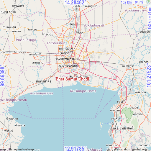
Phra Samut Chedi GPS coordinates[2]
13° 36' 7.992" North, 100° 34' 19.56" East
| Map corner | latitude | longitude |
|---|---|---|
| Upper-left | 14.28462°, | 99.86898° |
| Center: | 13.60222°, | 100.5721° |
| Lower-right: | 12.91785°, | 101.27523° |
| Map W x H: | 152×152 km | = 94.4×94.4mi |
| max Lat: | 20.43353° ⇑73.8% North |
| Phra Samut Chedi: | 13.60222° |
| min Lat: | ⇓26.2% South 5.77434° |
| min Long | Phra Samut Ched | max Long |
| 97.93288° | 100.5721° | 105.49506° |
| W 45%⇐ | ⇒55% E |
Elevation
Elevation of Phra Samut Chedi is 4 m = 13 ft, and this is 121.5 m = 399 ft below average elevation for this country.
| Max E: |
1011 m = 3317 ft | 99.3% |
| Avg. | 125.5 m = 412 ft | |
| Phra Samut Chedi | 4 m = 13 ft | |
Min E: |
1 m = 3 ft | 0.7% |
See also: Thailand elevation on elevation.city.
Geographical zone
Phra Samut Chedi is located in North Torrid zone (between Equator and Tropic of Cancer). Distance of this Northern Tropic circle is 1093.5 km =679.5 mi to North.| Distance of | km | miles | from Phra Samut Chedi |
|---|---|---|---|
| North Pole | 8494.6 | 5278.3 | to North |
| Arctic Circle | 5888.7 | 3659.1 | to North |
| Tropic Cancer | 1093.5 | 679.5 | to North |
| Equator | 1512.4 | 939.8 | to South |


Nearby cities:
15 places around Phra Samut Chedi: (largest is in red/bold)
• Bang Kho Laem
12.6 km =7.8 mi,  323°
323°
• Bang Na
10.5 km =6.5 mi,  46°
46°
• Bang Rak
15.2 km =9.4 mi,  339°
339°
• Chom Thong
12.6 km =7.8 mi,  311°
311°
• Khlong San
15.8 km =9.8 mi,  334°
334°
• Khlong Toei
12.7 km =7.9 mi,  359°
359°
• Phra Khanong
11.5 km =7.1 mi,  16°
16°
• Phra Pradaeng
7.5 km =4.7 mi, 326°
• Rat Burana
11.4 km =7.1 mi, 321°
• Samphanthawong
15.7 km =9.8 mi, 336°
• Samut Prakan
2.7 km =1.7 mi,  96°
96°
• Sathon
12.8 km =8 mi, 337°
• Thung Khru
7.4 km =4.6 mi,  293°
293°
• Watthana
14.3 km =8.9 mi,  5°
5°
• Yan Nawa
11 km =6.8 mi, 342°
Sources, notices
• [Note1] Compared only with cities in Thailand existing in our database
• [Src1] Map data: © OpenStreetMap contributors (CC-BY-SA)
• [Src2] Other city data from geonames.org with taken over terms of usage.
• [Src3] Geographical zone / Annual Mean Temperature by Robert A. Rohde @ Wikipedia
