Phrom Khiri geodata
Phrom Khiri (Nakhon Si Thammarat) is a seat of a second-order administrative division; located in Thailand in Asia/Bangkok (GMT+7) time zone. In our database, there are 331 cities with bigger population. Compared to other cities in Thailand, 86.4% of cities are located further ↑North; 78.8% of cities are located further →East and 65.4% of cities have higher elevation than Phrom Khiri. Note1


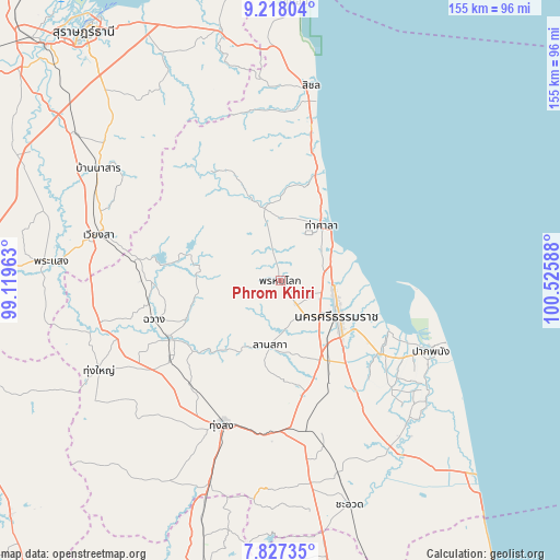
Phrom Khiri GPS coordinates[2]
8° 31' 23.988" North, 99° 49' 21.9" East
| Map corner | latitude | longitude |
|---|---|---|
| Upper-left | 9.21804°, | 99.11963° |
| Center: | 8.52333°, | 99.82275° |
| Lower-right: | 7.82735°, | 100.52588° |
| Map W x H: | 154.6×154.6 km | = 96.1×96.1mi |
| max Lat: | 20.43353° ⇑86.4% North |
| Phrom Khiri: | 8.52333° |
| min Lat: | ⇓13.6% South 5.77434° |
| min Long | Phrom Khiri | max Long |
| 97.93288° | 99.82275° | 105.49506° |
| W 21.2%⇐ | ⇒78.8% E |
Elevation
Elevation of Phrom Khiri is 31 m = 102 ft, and this is 94.5 m = 310 ft below average elevation for this country.
| Max E: |
1011 m = 3317 ft | 65.4% |
| Avg. | 125.5 m = 412 ft | |
| Phrom Khiri | 31 m = 102 ft | |
Min E: |
1 m = 3 ft | 34.6% |
See also: Thailand elevation on elevation.city.
Geographical zone
Phrom Khiri is located in North Torrid zone (between Equator and Tropic of Cancer). Distance of Equator is 947.7 km =588.9 mi to South.| Distance of | km | miles | from Phrom Khiri |
|---|---|---|---|
| North Pole | 9059.4 | 5629.2 | to North |
| Arctic Circle | 6453.5 | 4010 | to North |
| Tropic Cancer | 1658.2 | 1030.4 | to North |
| Equator | 947.7 | 588.9 | to South |


Nearby cities:
15 places around Phrom Khiri: (largest is in red/bold)
• Chaloem Phra Kiat
45.1 km =28 mi,  148°
148°
• Chang Klang
33.3 km =20.7 mi,  239°
239°
• Chawang
36.6 km =22.7 mi,  252°
252°
• Chulabhorn
50 km =31.1 mi,  174°
174°
• Lan Saka
17 km =10.6 mi,  186°
186°
• Na Bon
38.4 km =23.9 mi,  220°
220°
• Nakhon Si Thammarat
18.7 km =11.6 mi,  122°
122°
• Nopphitam
23.5 km =14.6 mi,  339°
339°
• Pak Phanang
45.9 km =28.5 mi,  114°
114°
• Phipun
24.1 km =15 mi,  279°
279°
• Phra Phrom
22.2 km =13.8 mi,  157°
157°
• Ron Phibun
38.4 km =23.9 mi, 174°
• Tha Sala
19.9 km =12.4 mi,  36°
36°
• Tham Phannara
48.4 km =30.1 mi,  256°
256°
• Thung Song
42.9 km =26.7 mi,  201°
201°
Sources, notices
• [Note1] Compared only with cities in Thailand existing in our database
• [Src1] Map data: © OpenStreetMap contributors (CC-BY-SA)
• [Src2] Other city data from geonames.org with taken over terms of usage.
• [Src3] Geographical zone / Annual Mean Temperature by Robert A. Rohde @ Wikipedia
