Ban Ao Nang geodata
Ban Ao Nang (Phangnga) is a populated place; located in Thailand in Asia/Bangkok (GMT+7) time zone. With population of 8,000 people, there are 293 cities with bigger population in this country. Compared to other cities in Thailand, 89.2% of cities are located further ↑North; 93.8% of cities are located further →East and 85.9% of cities have higher elevation than Ban Ao Nang. Note1


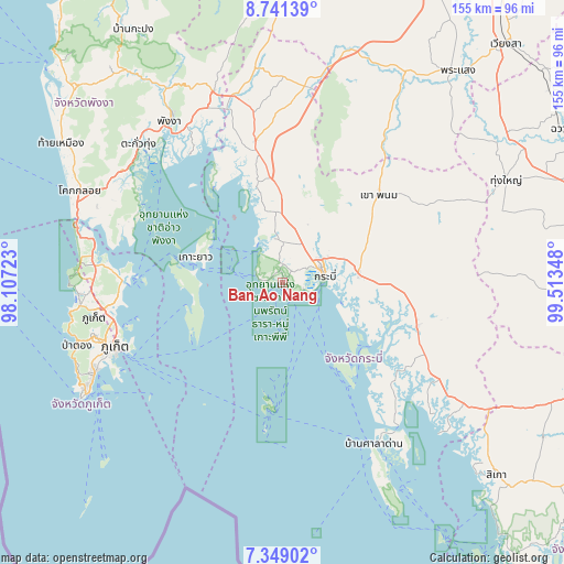
Ban Ao Nang GPS coordinates[2]
8° 2' 44.88" North, 98° 48' 37.26" East
| Map corner | latitude | longitude |
|---|---|---|
| Upper-left | 8.74139°, | 98.10723° |
| Center: | 8.0458°, | 98.81035° |
| Lower-right: | 7.34902°, | 99.51348° |
| Map W x H: | 154.8×154.8 km | = 96.2×96.2mi |
| max Lat: | 20.43353° ⇑89.2% North |
| Ban Ao Nang: | 8.0458° |
| min Lat: | ⇓10.8% South 5.77434° |
| min Long | Ban Ao Nang | max Long |
| 97.93288° | 98.81035° | 105.49506° |
| W 6.2%⇐ | ⇒93.8% E |
Elevation
Elevation of Ban Ao Nang is 10 m = 33 ft, and this is 115.5 m = 379 ft below average elevation for this country.
| Max E: |
1011 m = 3317 ft | 85.9% |
| Avg. | 125.5 m = 412 ft | |
| Ban Ao Nang | 10 m = 33 ft | |
Min E: |
1 m = 3 ft | 14.1% |
See also: Thailand elevation on elevation.city.
Geographical zone
Ban Ao Nang is located in North Torrid zone (between Equator and Tropic of Cancer). Distance of Equator is 894.6 km =555.9 mi to South.| Distance of | km | miles | from Ban Ao Nang |
|---|---|---|---|
| North Pole | 9112.5 | 5662.2 | to North |
| Arctic Circle | 6506.6 | 4043 | to North |
| Tropic Cancer | 1711.3 | 1063.4 | to North |
| Equator | 894.6 | 555.9 | to South |


Nearby cities:
15 places around Ban Ao Nang: (largest is in red/bold)
• Ao Luek
38.2 km =23.7 mi,  345°
345°
• Ban Ko Kaeo
47.2 km =29.3 mi,  254°
254°
• Ban Phru Nai
26.3 km =16.3 mi, 247°
• Ban Ratsada
47.4 km =29.5 mi, 251°
• Ban Talat Nua
50.1 km =31.1 mi, 249°
• Ban Talat Yai
48.6 km =30.2 mi, 248°
• Khao Phanom
36.1 km =22.4 mi,  47°
47°
• Khlong Thom
38.7 km =24 mi,  108°
108°
• Ko Yao
25 km =15.5 mi,  286°
286°
• Krabi
11.4 km =7.1 mi,  74°
74°
• Nuea Khlong
21 km =13 mi,  82°
82°
• Phi Phi Don
34.2 km =21.3 mi,  187°
187°
• Phuket
48.6 km =30.2 mi, 249°
• Thalang
52.5 km =32.6 mi,  268°
268°
• Wichit
49.9 km =31 mi, 249°
Sources, notices
• [Note1] Compared only with cities in Thailand existing in our database
• [Src1] Map data: © OpenStreetMap contributors (CC-BY-SA)
• [Src2] Other city data from geonames.org with taken over terms of usage.
• [Src3] Geographical zone / Annual Mean Temperature by Robert A. Rohde @ Wikipedia
