Tha Wung geodata
Tha Wung (Lop Buri) is a seat of a second-order administrative division; located in Thailand in Asia/Bangkok (GMT+7) time zone. In our database, there are 331 cities with bigger population. Compared to other cities in Thailand, 52.9% of cities are located further ↑North; 58% of cities are located further →East and 83.5% of cities have higher elevation than Tha Wung. Note1


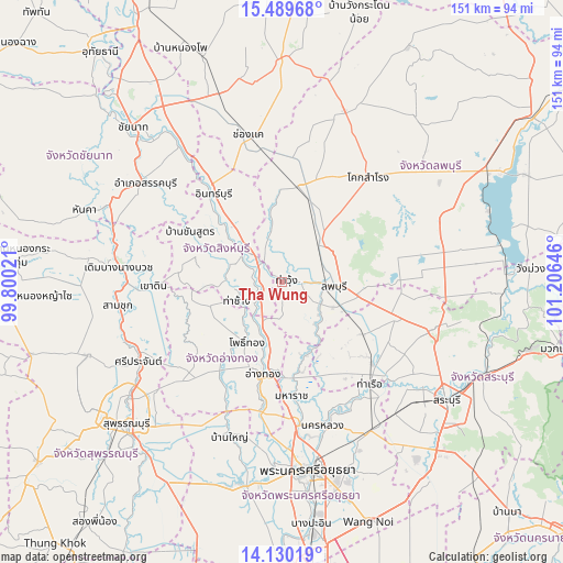
Tha Wung GPS coordinates[2]
14° 48' 39.6" North, 100° 30' 11.988" East
| Map corner | latitude | longitude |
|---|---|---|
| Upper-left | 15.48968°, | 99.80021° |
| Center: | 14.811°, | 100.50333° |
| Lower-right: | 14.13019°, | 101.20646° |
| Map W x H: | 151.2×151.2 km | = 94×94mi |
| max Lat: | 20.43353° ⇑52.9% North |
| Tha Wung: | 14.811° |
| min Lat: | ⇓47.1% South 5.77434° |
| min Long | Tha Wung | max Long |
| 97.93288° | 100.50333° | 105.49506° |
| W 42%⇐ | ⇒58% E |
Elevation
Elevation of Tha Wung is 11 m = 36 ft, and this is 114.5 m = 376 ft below average elevation for this country.
| Max E: |
1011 m = 3317 ft | 83.5% |
| Avg. | 125.5 m = 412 ft | |
| Tha Wung | 11 m = 36 ft | |
Min E: |
1 m = 3 ft | 16.5% |
See also: Thailand elevation on elevation.city.
Geographical zone
Tha Wung is located in North Torrid zone (between Equator and Tropic of Cancer). Distance of this Northern Tropic circle is 959.1 km =596 mi to North.| Distance of | km | miles | from Tha Wung |
|---|---|---|---|
| North Pole | 8360.2 | 5194.8 | to North |
| Arctic Circle | 5754.3 | 3575.6 | to North |
| Tropic Cancer | 959.1 | 596 | to North |
| Equator | 1646.8 | 1023.3 | to South |


Nearby cities:
15 places around Tha Wung: (largest is in red/bold)
• Ang Thong
25.3 km =15.7 mi,  192°
192°
• Ban Mi
26.2 km =16.3 mi,  7°
7°
• Ban Phraek
19.9 km =12.4 mi,  156°
156°
• Ban Thai Tan
21.1 km =13.1 mi,  184°
184°
• Bang Racham
21.9 km =13.6 mi,  294°
294°
• Bang Rachan
21.2 km =13.2 mi,  265°
265°
• Chaiyo
15.4 km =9.6 mi, 194°
• Chaiyo
18.2 km =11.3 mi, 188°
• Lop Buri
16.3 km =10.1 mi,  95°
95°
• Pho Thong
18.9 km =11.7 mi,  212°
212°
• Phrom Buri
5.8 km =3.6 mi,  247°
247°
• Sawaeng Ha
20 km =12.4 mi, 248°
• Sawaengha
20.3 km =12.6 mi, 251°
• Sing Buri
13.6 km =8.5 mi,  308°
308°
• Tha Chang
13.4 km =8.3 mi, 245°
Sources, notices
• [Note1] Compared only with cities in Thailand existing in our database
• [Src1] Map data: © OpenStreetMap contributors (CC-BY-SA)
• [Src2] Other city data from geonames.org with taken over terms of usage.
• [Src3] Geographical zone / Annual Mean Temperature by Robert A. Rohde @ Wikipedia
