Saraburi geodata
Saraburi (Sara Buri) is a seat of a first-order administrative division; located in Thailand in Asia/Bangkok (GMT+7) time zone. With population of 67,763 people, there are 33 cities with bigger population in this country. Compared to other cities in Thailand, 59.2% of cities are located further ↑North; 53% of cities are located further ←West and 70.3% of cities have higher elevation than Saraburi. Note1


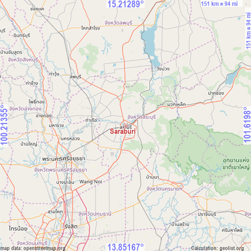
Saraburi GPS coordinates[2]
14° 31' 59.988" North, 100° 55' 0.012" East
| Map corner | latitude | longitude |
|---|---|---|
| Upper-left | 15.21289°, | 100.21355° |
| Center: | 14.53333°, | 100.91667° |
| Lower-right: | 13.85167°, | 101.6198° |
| Map W x H: | 151.4×151.4 km | = 94.1×94.1mi |
| max Lat: | 20.43353° ⇑59.2% North |
| Saraburi: | 14.53333° |
| min Lat: | ⇓40.8% South 5.77434° |
| min Long | Saraburi | max Long |
| 97.93288° | 100.91667° | 105.49506° |
| W 53%⇐ | ⇒47% E |
Elevation
Elevation of Saraburi is 22 m = 72 ft, and this is 103.5 m = 340 ft below average elevation for this country.
| Max E: |
1011 m = 3317 ft | 70.3% |
| Avg. | 125.5 m = 412 ft | |
| Saraburi | 22 m = 72 ft | |
Min E: |
1 m = 3 ft | 29.7% |
See also: Saraburi elevation on elevation.city.
Geographical zone
Saraburi is located in North Torrid zone (between Equator and Tropic of Cancer). Distance of this Northern Tropic circle is 990 km =615.2 mi to North.| Distance of | km | miles | from Saraburi |
|---|---|---|---|
| North Pole | 8391.1 | 5214 | to North |
| Arctic Circle | 5785.2 | 3594.8 | to North |
| Tropic Cancer | 990 | 615.2 | to North |
| Equator | 1616 | 1004.1 | to South |


Nearby cities:
15 places around Saraburi: (largest is in red/bold)
• Ban Mo
22.3 km =13.9 mi,  294°
294°
• Chaloem Phra Kiat
8.7 km =5.4 mi,  354°
354°
• Don Phut
31.7 km =19.7 mi,  281°
281°
• Kaeng Khoi
10.5 km =6.5 mi,  55°
55°
• Muak Lek
33.3 km =20.7 mi,  66°
66°
• Nakhon Luang
34.1 km =21.2 mi,  256°
256°
• Nong Don
28 km =17.4 mi,  307°
307°
• Nong Khae
22.1 km =13.7 mi,  193°
193°
• Nong Saeng
15 km =9.3 mi,  252°
252°
• Phachi
22.3 km =13.9 mi, 245°
• Phra Phutthabat
25 km =15.5 mi,  328°
328°
• Sao Hai
8 km =5 mi, 284°
• Tha Ruea
20.9 km =13 mi, 280°
• Uthai
32.5 km =20.2 mi,  234°
234°
• Wihan Daeng
22.3 km =13.9 mi,  159°
159°
Sources, notices
• [Note1] Compared only with cities in Thailand existing in our database
• [Src1] Map data: © OpenStreetMap contributors (CC-BY-SA)
• [Src2] Other city data from geonames.org with taken over terms of usage.
• [Src3] Geographical zone / Annual Mean Temperature by Robert A. Rohde @ Wikipedia
