Muak Lek geodata
Muak Lek (Sara Buri) is a seat of a second-order administrative division; located in Thailand in Asia/Bangkok (GMT+7) time zone. In our database, there are 331 cities with bigger population. Compared to other cities in Thailand, 56.1% of cities are located further ↑North; 57.4% of cities are located further ←West and 85.7% of cities have lower elevation than Muak Lek. Note1


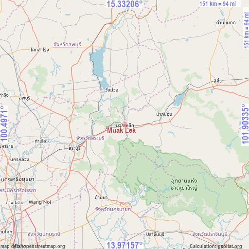
Muak Lek GPS coordinates[2]
14° 39' 10.332" North, 101° 12' 0.792" East
| Map corner | latitude | longitude |
|---|---|---|
| Upper-left | 15.33206°, | 100.4971° |
| Center: | 14.65287°, | 101.20022° |
| Lower-right: | 13.97157°, | 101.90335° |
| Map W x H: | 151.3×151.3 km | = 94×94mi |
| max Lat: | 20.43353° ⇑56.1% North |
| Muak Lek: | 14.65287° |
| min Lat: | ⇓43.9% South 5.77434° |
| min Long | Muak Lek | max Long |
| 97.93288° | 101.20022° | 105.49506° |
| W 57.4%⇐ | ⇒42.6% E |
Elevation
Elevation of Muak Lek is 221 m = 725 ft, and this is 95.5 m = 313 ft above average elevation for this country.
| Max E: |
1011 m = 3317 ft | 14.3% |
| Muak Lek | 221 m 725 ft | |
| Avg. | 125.5 m = 412 ft | |
Min E: |
1 m = 3 ft | 85.7% |
See also: Thailand elevation on elevation.city.
Geographical zone
Muak Lek is located in North Torrid zone (between Equator and Tropic of Cancer). Distance of this Northern Tropic circle is 976.7 km =606.9 mi to North.| Distance of | km | miles | from Muak Lek |
|---|---|---|---|
| North Pole | 8377.8 | 5205.7 | to North |
| Arctic Circle | 5771.9 | 3586.5 | to North |
| Tropic Cancer | 976.7 | 606.9 | to North |
| Equator | 1629.2 | 1012.3 | to South |


Nearby cities:
15 places around Muak Lek: (largest is in red/bold)
• Ban Mo
51 km =31.7 mi,  265°
265°
• Ban Na
45.6 km =28.3 mi,  197°
197°
• Chaloem Phra Kiat
31.7 km =19.7 mi,  261°
261°
• Kaeng Khoi
23 km =14.3 mi,  251°
251°
• Nakhon Nayok
49.9 km =31 mi,  178°
178°
• Nong Khae
49.9 km =31 mi,  225°
225°
• Nong Saeng
48.2 km =30 mi, 248°
• Pak Chong
24 km =14.9 mi,  75°
75°
• Phatthana Nikhom
32.4 km =20.1 mi,  314°
314°
• Phra Phutthabat
44.3 km =27.5 mi,  280°
280°
• Sao Hai
39.9 km =24.8 mi, 253°
• Saraburi
33.3 km =20.7 mi, 246°
• Tha Luang
47.8 km =29.7 mi,  346°
346°
• Wang Muang
22.5 km =14 mi,  339°
339°
• Wihan Daeng
41 km =25.5 mi,  213°
213°
Sources, notices
• [Note1] Compared only with cities in Thailand existing in our database
• [Src1] Map data: © OpenStreetMap contributors (CC-BY-SA)
• [Src2] Other city data from geonames.org with taken over terms of usage.
• [Src3] Geographical zone / Annual Mean Temperature by Robert A. Rohde @ Wikipedia
