Bua Yai geodata
Bua Yai (Nakhon Ratchasima) is a seat of a second-order administrative division; located in Thailand in Asia/Bangkok (GMT+7) time zone. With population of 16,832 people, there are 192 cities with bigger population in this country. Compared to other cities in Thailand, 59.5% of cities are located further ↓South; 72.3% of cities are located further ←West and 72.8% of cities have lower elevation than Bua Yai. Note1


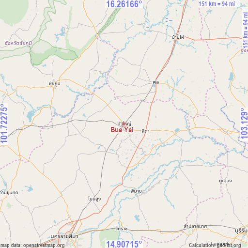
Bua Yai GPS coordinates[2]
15° 35' 7.872" North, 102° 25' 33.132" East
| Map corner | latitude | longitude |
|---|---|---|
| Upper-left | 16.26166°, | 101.72275° |
| Center: | 15.58552°, | 102.42587° |
| Lower-right: | 14.90715°, | 103.129° |
| Map W x H: | 150.6×150.6 km | = 93.6×93.6mi |
| max Lat: | 20.43353° ⇑40.5% North |
| Bua Yai: | 15.58552° |
| min Lat: | ⇓59.5% South 5.77434° |
| min Long | Bua Yai | max Long |
| 97.93288° | 102.42587° | 105.49506° |
| W 72.3%⇐ | ⇒27.7% E |
Elevation
Elevation of Bua Yai is 177 m = 581 ft, and this is 51.5 m = 169 ft above average elevation for this country.
| Max E: |
1011 m = 3317 ft | 27.2% |
| Bua Yai | 177 m 581 ft | |
| Avg. | 125.5 m = 412 ft | |
Min E: |
1 m = 3 ft | 72.8% |
See also: Thailand elevation on elevation.city.
Geographical zone
Bua Yai is located in North Torrid zone (between Equator and Tropic of Cancer). Distance of this Northern Tropic circle is 873 km =542.5 mi to North.| Distance of | km | miles | from Bua Yai |
|---|---|---|---|
| North Pole | 8274.1 | 5141.3 | to North |
| Arctic Circle | 5668.2 | 3522.1 | to North |
| Tropic Cancer | 873 | 542.5 | to North |
| Equator | 1732.9 | 1076.8 | to South |


Nearby cities:
15 places around Bua Yai: (largest is in red/bold)
• Ban Lueam
31.9 km =19.8 mi,  274°
274°
• Ban Mai Chaiyaphot
43.7 km =27.2 mi,  91°
91°
• Bua Lai
11.8 km =7.3 mi,  41°
41°
• Chum Phuang
42.9 km =26.7 mi,  127°
127°
• Kaeng Sanam Nang
25.8 km =16 mi,  314°
314°
• Kham Sakae Saeng
39.1 km =24.3 mi,  223°
223°
• Khon Sawan
41.5 km =25.8 mi,  338°
338°
• Khong
18.9 km =11.7 mi,  213°
213°
• Non Daeng
23 km =14.3 mi,  147°
147°
• Phimai
41 km =25.5 mi,  169°
169°
• Phon
31.7 km =19.7 mi, 35°
• Prathai
32.3 km =20.1 mi,  100°
100°
• Sida
15.6 km =9.7 mi, 104°
• Waeng Noi
24.3 km =15.1 mi,  357°
357°
• Waeng Yai
43.1 km =26.8 mi,  17°
17°
Sources, notices
• [Note1] Compared only with cities in Thailand existing in our database
• [Src1] Map data: © OpenStreetMap contributors (CC-BY-SA)
• [Src2] Other city data from geonames.org with taken over terms of usage.
• [Src3] Geographical zone / Annual Mean Temperature by Robert A. Rohde @ Wikipedia
