Bang Khla geodata
Bang Khla (Chachoengsao) is a seat of a second-order administrative division; located in Thailand in Asia/Bangkok (GMT+7) time zone. With population of 13,528 people, there are 244 cities with bigger population in this country. Compared to other cities in Thailand, 71.2% of cities are located further ↑North; 57.6% of cities are located further ←West and 98% of cities have higher elevation than Bang Khla. Note1


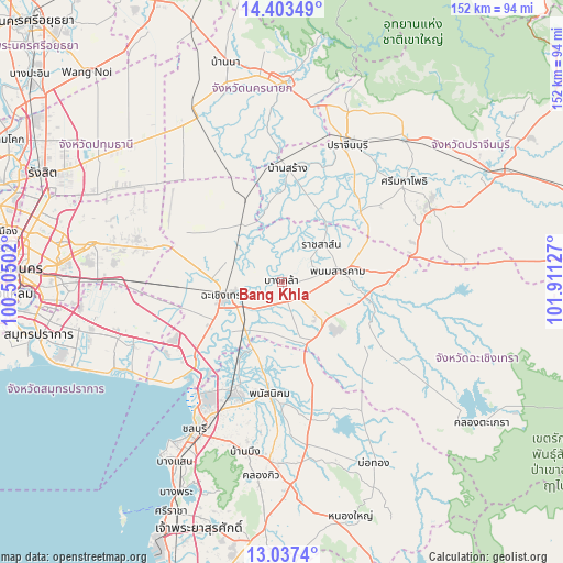
Bang Khla GPS coordinates[2]
13° 43' 17.184" North, 101° 12' 29.304" East
| Map corner | latitude | longitude |
|---|---|---|
| Upper-left | 14.40349°, | 100.50502° |
| Center: | 13.72144°, | 101.20814° |
| Lower-right: | 13.0374°, | 101.91127° |
| Map W x H: | 151.9×151.9 km | = 94.4×94.4mi |
| max Lat: | 20.43353° ⇑71.2% North |
| Bang Khla: | 13.72144° |
| min Lat: | ⇓28.8% South 5.77434° |
| min Long | Bang Khla | max Long |
| 97.93288° | 101.20814° | 105.49506° |
| W 57.6%⇐ | ⇒42.4% E |
Elevation
Elevation of Bang Khla is 5 m = 16 ft, and this is 120.5 m = 395 ft below average elevation for this country.
| Max E: |
1011 m = 3317 ft | 98% |
| Avg. | 125.5 m = 412 ft | |
| Bang Khla | 5 m = 16 ft | |
Min E: |
1 m = 3 ft | 2% |
See also: Thailand elevation on elevation.city.
Geographical zone
Bang Khla is located in North Torrid zone (between Equator and Tropic of Cancer). Distance of this Northern Tropic circle is 1080.2 km =671.2 mi to North.| Distance of | km | miles | from Bang Khla |
|---|---|---|---|
| North Pole | 8481.4 | 5270.1 | to North |
| Arctic Circle | 5875.5 | 3650.9 | to North |
| Tropic Cancer | 1080.2 | 671.2 | to North |
| Equator | 1525.7 | 948 | to South |


Nearby cities:
15 places around Bang Khla: (largest is in red/bold)
• Ban Pho
19.5 km =12.1 mi,  225°
225°
• Ban Sang
30.5 km =19 mi,  2°
2°
• Bang Nam Priao
21.8 km =13.5 mi,  309°
309°
• Bang Pakong
30.5 km =19 mi, 229°
• Chachoengsao
15.2 km =9.4 mi,  255°
255°
• Khlong Khuean
9.1 km =5.7 mi,  328°
328°
• Ko Chan
36.5 km =22.7 mi,  158°
158°
• Nong Chok
40.2 km =25 mi,  291°
291°
• Phan Thong
30.7 km =19.1 mi,  203°
203°
• Phanat Nikhom
30.8 km =19.1 mi,  184°
184°
• Phanom Sarakham
15.5 km =9.6 mi,  78°
78°
• Plaeng Yao
17.3 km =10.7 mi,  151°
151°
• Ratchasan
10.4 km =6.5 mi,  49°
49°
• Sanam Chai Khet
25.9 km =16.1 mi,  105°
105°
• Si Mahosot
28.2 km =17.5 mi, 48°
Sources, notices
• [Note1] Compared only with cities in Thailand existing in our database
• [Src1] Map data: © OpenStreetMap contributors (CC-BY-SA)
• [Src2] Other city data from geonames.org with taken over terms of usage.
• [Src3] Geographical zone / Annual Mean Temperature by Robert A. Rohde @ Wikipedia
