Phan Thong geodata
Phan Thong (Chon Buri) is a seat of a second-order administrative division; located in Thailand in Asia/Bangkok (GMT+7) time zone. With population of 18,708 people, there are 168 cities with bigger population in this country. Compared to other cities in Thailand, 75.3% of cities are located further ↑North; 55.9% of cities are located further ←West and 98% of cities have higher elevation than Phan Thong. Note1


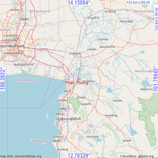
Phan Thong GPS coordinates[2]
13° 28' 4.944" North, 101° 5' 43.152" East
| Map corner | latitude | longitude |
|---|---|---|
| Upper-left | 14.15084°, | 100.3922° |
| Center: | 13.46804°, | 101.09532° |
| Lower-right: | 12.78329°, | 101.79845° |
| Map W x H: | 152.1×152.1 km | = 94.5×94.5mi |
| max Lat: | 20.43353° ⇑75.3% North |
| Phan Thong: | 13.46804° |
| min Lat: | ⇓24.7% South 5.77434° |
| min Long | Phan Thong | max Long |
| 97.93288° | 101.09532° | 105.49506° |
| W 55.9%⇐ | ⇒44.1% E |
Elevation
Elevation of Phan Thong is 5 m = 16 ft, and this is 120.5 m = 395 ft below average elevation for this country.
| Max E: |
1011 m = 3317 ft | 98% |
| Avg. | 125.5 m = 412 ft | |
| Phan Thong | 5 m = 16 ft | |
Min E: |
1 m = 3 ft | 2% |
See also: Thailand elevation on elevation.city.
Geographical zone
Phan Thong is located in North Torrid zone (between Equator and Tropic of Cancer). Distance of this Northern Tropic circle is 1108.4 km =688.7 mi to North.| Distance of | km | miles | from Phan Thong |
|---|---|---|---|
| North Pole | 8509.6 | 5287.6 | to North |
| Arctic Circle | 5903.7 | 3668.4 | to North |
| Tropic Cancer | 1108.4 | 688.7 | to North |
| Equator | 1497.5 | 930.5 | to South |


Nearby cities:
15 places around Phan Thong: (largest is in red/bold)
• Ban Bueng
17.6 km =10.9 mi,  174°
174°
• Ban Khlong Bang Sao Thong
34.3 km =21.3 mi,  304°
304°
• Ban Pho
14.6 km =9.1 mi,  353°
353°
• Bang Bo
30.5 km =19 mi,  292°
292°
• Bang Bo District
32.7 km =20.3 mi, 293°
• Bang Khla
30.7 km =19.1 mi,  23°
23°
• Bang Pakong
13.8 km =8.6 mi,  307°
307°
• Bang Sao Thong
31.9 km =19.8 mi, 296°
• Chachoengsao
24.6 km =15.3 mi, 354°
• Chon Buri
16.9 km =10.5 mi,  225°
225°
• Khlong Khuean
36.7 km =22.8 mi,  11°
11°
• Ko Chan
26.5 km =16.5 mi,  102°
102°
• Phanat Nikhom
10 km =6.2 mi, 104°
• Plaeng Yao
24.2 km =15 mi,  57°
57°
• Si Racha
37.2 km =23.1 mi,  208°
208°
Sources, notices
• [Note1] Compared only with cities in Thailand existing in our database
• [Src1] Map data: © OpenStreetMap contributors (CC-BY-SA)
• [Src2] Other city data from geonames.org with taken over terms of usage.
• [Src3] Geographical zone / Annual Mean Temperature by Robert A. Rohde @ Wikipedia
