Zahānah geodata
Zahānah (Banzart) is a populated place; located in Tunisia in Africa/Tunis (GMT+1) time zone. With population of 3,765 people, there are 127 cities with bigger population in this country. Compared to other cities in Tunisia, 90.9% of cities are located further ↓South; 58.7% of cities are located further →East and 63.6% of cities have higher elevation than Zahānah. Note1


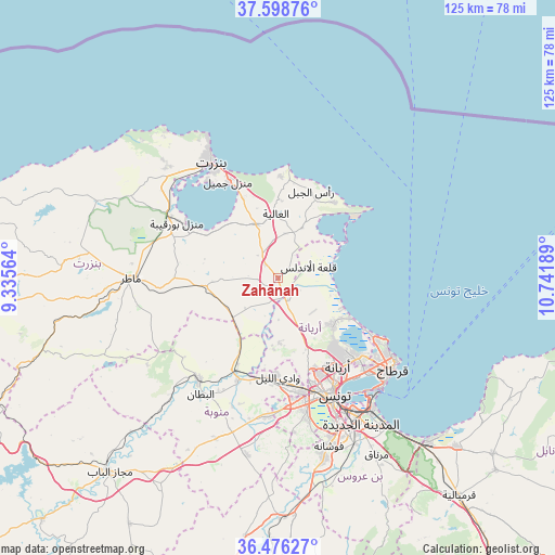
Zahānah GPS coordinates[2]
37° 2' 22.524" North, 10° 2' 19.536" East
| Map corner | latitude | longitude |
|---|---|---|
| Upper-left | 37.59876°, | 9.33564° |
| Center: | 37.03959°, | 10.03876° |
| Lower-right: | 36.47627°, | 10.74189° |
| Map W x H: | 124.8×124.8 km | = 77.5×77.5mi |
| max Lat: | 37.27442° ⇑9.1% North |
| Zahānah: | 37.03959° |
| min Lat: | ⇓90.9% South 32.31662° |
| min Long | Zahānah | max Long |
| 7.87765° | 10.03876° | 11.21965° |
| W 41.3%⇐ | ⇒58.7% E |
Elevation
Elevation of Zahānah is 27 m = 89 ft, and this is 122.4 m = 402 ft below average elevation for this country.
| Max E: |
999 m = 3278 ft | 63.6% |
| Avg. | 149.4 m = 490 ft | |
| Zahānah | 27 m = 89 ft | |
Min E: |
-6 m = -20 ft | 36.4% |
See also: Tunisia elevation on elevation.city.
Geographical zone
Zahānah is located in North temperate zone (between Tropic of Cancer and the Arctic Circle). Distance of this Northern Tropic circle is 1512.5 km =939.8 mi to South.| Distance of | km | miles | from Zahānah |
|---|---|---|---|
| North Pole | 5888.6 | 3659 | to North |
| Arctic Circle | 3282.8 | 2039.8 | to North |
| Tropic Cancer | 1512.5 | 939.8 | to South |
| Equator | 4118.4 | 2559.1 | to South |


Nearby cities:
15 places around Zahānah: (largest is in red/bold)
• Al Marsá
31.1 km =19.3 mi,  125°
125°
• Al Matlīn
22.9 km =14.2 mi,  2°
2°
• Ariana
24.2 km =15 mi,  145°
145°
• Bizerte
29.9 km =18.6 mi,  330°
330°
• Douar Tindja
29.2 km =18.1 mi,  298°
298°
• El Alia
14.4 km =8.9 mi,  358°
358°
• Galaat el Andeless
7.5 km =4.7 mi,  69°
69°
• Manouba
26 km =16.2 mi,  168°
168°
• Menzel Abderhaman
26.9 km =16.7 mi,  324°
324°
• Menzel Bourguiba
25.8 km =16 mi, 299°
• Menzel Jemil
24.5 km =15.2 mi, 333°
• Oued Lill
22.9 km =14.2 mi,  179°
179°
• Rafrāf
21.1 km =13.1 mi,  37°
37°
• Rhar el Melah
19.7 km =12.2 mi, 43°
• Tunis
27 km =16.8 mi,  155°
155°
Sources, notices
• [Note1] Compared only with cities in Tunisia existing in our database
• [Src1] Map data: © OpenStreetMap contributors (CC-BY-SA)
• [Src2] Other city data from geonames.org with taken over terms of usage.
• [Src3] Geographical zone / Annual Mean Temperature by Robert A. Rohde @ Wikipedia
