Sfax geodata
Sfax (Şafāqis) is a seat of a first-order administrative division; located in Tunisia in Africa/Tunis (GMT+1) time zone. With population of 277,278 people, there is 1 city with bigger population in this country. Compared to other cities in Tunisia, 79.7% of cities are located further ↑North; 77.6% of cities are located further ←West and 90.2% of cities have higher elevation than Sfax. Note1


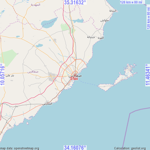
Sfax GPS coordinates[2]
34° 44' 26.016" North, 10° 45' 37.008" East
| Map corner | latitude | longitude |
|---|---|---|
| Upper-left | 35.31632°, | 10.05716° |
| Center: | 34.74056°, | 10.76028° |
| Lower-right: | 34.16076°, | 11.46341° |
| Map W x H: | 128.5×128.5 km | = 79.8×79.8mi |
| max Lat: | 37.27442° ⇑79.7% North |
| Sfax: | 34.74056° |
| min Lat: | ⇓20.3% South 32.31662° |
| min Long | Sfax | max Long |
| 7.87765° | 10.76028° | 11.21965° |
| W 77.6%⇐ | ⇒22.4% E |
Elevation
Elevation of Sfax is 8 m = 26 ft, and this is 141.4 m = 464 ft below average elevation for this country.
| Max E: |
999 m = 3278 ft | 90.2% |
| Avg. | 149.4 m = 490 ft | |
| Sfax | 8 m = 26 ft | |
Min E: |
-6 m = -20 ft | 9.8% |
See also: Sfax elevation on elevation.city.
Geographical zone
Sfax is located in North temperate zone (between Tropic of Cancer and the Arctic Circle). Distance of this Northern Tropic circle is 1256.9 km =781 mi to South.| Distance of | km | miles | from Sfax |
|---|---|---|---|
| North Pole | 6144.3 | 3817.9 | to North |
| Arctic Circle | 3538.4 | 2198.7 | to North |
| Tropic Cancer | 1256.9 | 781 | to South |
| Equator | 3862.8 | 2400.2 | to South |


Nearby cities:
15 places around Sfax: (largest is in red/bold)
• Bir Ali Ben Khalifa
61 km =37.9 mi,  269°
269°
• Chebba
64 km =39.8 mi,  30°
30°
• Chorbane
69.6 km =43.2 mi,  330°
330°
• Djebeniana
35.4 km =22 mi,  22°
22°
• El Jem
62.3 km =38.7 mi,  356°
356°
• Gremda
2.4 km =1.5 mi,  63°
63°
• Ksour Essaf
78.3 km =48.7 mi, 15°
• Mahdia
89.3 km =55.5 mi, 17°
• Melloulèche
53.5 km =33.2 mi, 27°
• Mezzouna
85.9 km =53.4 mi,  257°
257°
• Salakta
77.1 km =47.9 mi, 19°
• Sidi Alouane
72.4 km =45 mi,  12°
12°
• Sidi Ben Nour
89.3 km =55.5 mi, 9°
• Skhira
80 km =49.7 mi,  232°
232°
• Zouila
88.8 km =55.2 mi, 17°
Sources, notices
• [Note1] Compared only with cities in Tunisia existing in our database
• [Src1] Map data: © OpenStreetMap contributors (CC-BY-SA)
• [Src2] Other city data from geonames.org with taken over terms of usage.
• [Src3] Geographical zone / Annual Mean Temperature by Robert A. Rohde @ Wikipedia
