Yeniceoba geodata
Yeniceoba (Konya) is a seat of a third-order administrative division; located in Turkey in Europe/Istanbul (GMT+3) time zone. In our database, there are 1323 cities with bigger population. Compared to other cities in Turkey, 52.8% of cities are located further ↓South; 63% of cities are located further →East and 65.4% of cities have lower elevation than Yeniceoba. Note1


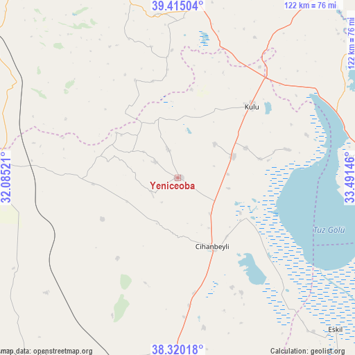
Yeniceoba GPS coordinates[2]
38° 52' 10.992" North, 32° 47' 17.988" East
| Map corner | latitude | longitude |
|---|---|---|
| Upper-left | 39.41504°, | 32.08521° |
| Center: | 38.86972°, | 32.78833° |
| Lower-right: | 38.32018°, | 33.49146° |
| Map W x H: | 121.7×121.7 km | = 75.6×75.6mi |
| max Lat: | 42.02683° ⇑47.2% North |
| Yeniceoba: | 38.86972° |
| min Lat: | ⇓52.8% South 35.9025° |
| min Long | Yeniceoba | max Long |
| 25.90902° | 32.78833° | 44.60099° |
| W 37%⇐ | ⇒63% E |
Elevation
Elevation of Yeniceoba is 964 m = 3163 ft, and this is 246.6 m = 809 ft above average elevation for this country.
| Max E: |
2682 m = 8799 ft | 34.6% |
| Yeniceoba | 964 m 3163 ft | |
| Avg. | 717.4 m = 2354 ft | |
Min E: |
0 m = 0 ft | 65.4% |
See also: Turkey elevation on elevation.city.
Geographical zone
Yeniceoba is located in North temperate zone (between Tropic of Cancer and the Arctic Circle). Distance of this Northern Tropic circle is 1716 km =1066.3 mi to South.| Distance of | km | miles | from Yeniceoba |
|---|---|---|---|
| North Pole | 5685.2 | 3532.6 | to North |
| Arctic Circle | 3079.3 | 1913.4 | to North |
| Tropic Cancer | 1716 | 1066.3 | to South |
| Equator | 4321.9 | 2685.5 | to South |


Nearby cities:
15 places around Yeniceoba: (largest is in red/bold)
• Altpınar
37.4 km =23.2 mi,  354°
354°
• Altınekin
62.9 km =39.1 mi,  173°
173°
• Bala
81.4 km =50.6 mi,  20°
20°
• Cihanbeyli
26.1 km =16.2 mi,  153°
153°
• Eskil
75.2 km =46.7 mi,  133°
133°
• Haymana
67.4 km =41.9 mi,  338°
338°
• Kulu
35.5 km =22.1 mi,  45°
45°
• Kurthasanlı
80.6 km =50.1 mi,  221°
221°
• Kuyulusebil
32.8 km =20.4 mi, 223°
• Sarayönü
75.4 km =46.9 mi,  206°
206°
• Sülüklü
38.6 km =24 mi,  271°
271°
• Yenice
46 km =28.6 mi, 348°
• Yenimehmetli
81.2 km =50.5 mi,  318°
318°
• İkizce
81.4 km =50.6 mi, 352°
• Şereflikoçhisar
65.4 km =40.6 mi,  83°
83°
Sources, notices
• [Note1] Compared only with cities in Turkey existing in our database
• [Src1] Map data: © OpenStreetMap contributors (CC-BY-SA)
• [Src2] Other city data from geonames.org with taken over terms of usage.
• [Src3] Geographical zone / Annual Mean Temperature by Robert A. Rohde @ Wikipedia
