Mezraa geodata
Mezraa (Şırnak) is a populated place; located in Turkey in Europe/Istanbul (GMT+3) time zone. With population of 3,812 people, there are 795 cities with bigger population in this country. Compared to other cities in Turkey, 71.2% of cities are located further ↑North; 97.7% of cities are located further ←West and 99.2% of cities have lower elevation than Mezraa. Note1


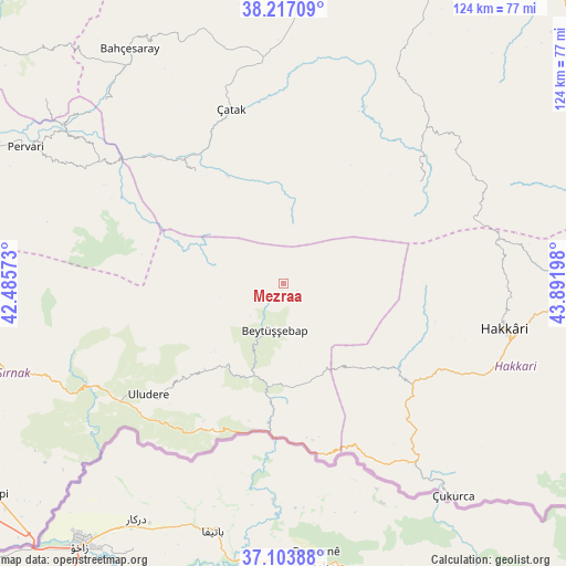
Mezraa GPS coordinates[2]
37° 39' 45.252" North, 43° 11' 19.86" East
| Map corner | latitude | longitude |
|---|---|---|
| Upper-left | 38.21709°, | 42.48573° |
| Center: | 37.66257°, | 43.18885° |
| Lower-right: | 37.10388°, | 43.89198° |
| Map W x H: | 123.8×123.8 km | = 76.9×76.9mi |
| max Lat: | 42.02683° ⇑71.2% North |
| Mezraa: | 37.66257° |
| min Lat: | ⇓28.8% South 35.9025° |
| min Long | Mezraa | max Long |
| 25.90902° | 43.18885° | 44.60099° |
| W 97.7%⇐ | ⇒2.3% E |
Elevation
Elevation of Mezraa is 2038 m = 6686 ft, and this is 1320.6 m = 4333 ft above average elevation for this country.
| Max E: |
2682 m = 8799 ft | 0.8% |
| Mezraa | 2038 m 6686 ft | |
| Avg. | 717.4 m = 2354 ft | |
Min E: |
0 m = 0 ft | 99.2% |
See also: Turkey elevation on elevation.city.
Geographical zone
Mezraa is located in North temperate zone (between Tropic of Cancer and the Arctic Circle). Distance of this Northern Tropic circle is 1581.8 km =982.9 mi to South.| Distance of | km | miles | from Mezraa |
|---|---|---|---|
| North Pole | 5819.4 | 3616 | to North |
| Arctic Circle | 3213.5 | 1996.8 | to North |
| Tropic Cancer | 1581.8 | 982.9 | to South |
| Equator | 4187.7 | 2602.1 | to South |


Nearby cities:
15 places around Mezraa: (largest is in red/bold)
• Aşağıdere
17.7 km =11 mi,  200°
200°
• Başaran
21.3 km =13.2 mi,  194°
194°
• Beytüşşebap
11.2 km =7 mi, 190°
• Bolağaç
22.5 km =14 mi,  216°
216°
• Boğazören
21.9 km =13.6 mi,  226°
226°
• Buğdaylı
4.5 km =2.8 mi,  54°
54°
• Dağdibi
30.9 km =19.2 mi, 194°
• Geçitli
33.9 km =21.1 mi,  104°
104°
• Karchane
6.7 km =4.2 mi, 223°
• Konalga
23.4 km =14.5 mi,  339°
339°
• Narlı
31 km =19.3 mi,  322°
322°
• Oymakaya
26.9 km =16.7 mi,  171°
171°
• Pirinçli
20.7 km =12.9 mi, 220°
• Uzungeçit
25.9 km =16.1 mi, 222°
• Yemişli
34.3 km =21.3 mi, 196°
Sources, notices
• [Note1] Compared only with cities in Turkey existing in our database
• [Src1] Map data: © OpenStreetMap contributors (CC-BY-SA)
• [Src2] Other city data from geonames.org with taken over terms of usage.
• [Src3] Geographical zone / Annual Mean Temperature by Robert A. Rohde @ Wikipedia
