Kirazlı geodata
Kirazlı (Bursa) is a populated place; located in Turkey in Europe/Istanbul (GMT+3) time zone. With population of 2,663 people, there are 883 cities with bigger population in this country. Compared to other cities in Turkey, 70.9% of cities are located further ↓South; 83.7% of cities are located further →East and 63% of cities have lower elevation than Kirazlı. Note1


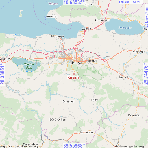
Kirazlı GPS coordinates[2]
40° 5' 58.704" North, 29° 2' 29.868" East
| Map corner | latitude | longitude |
|---|---|---|
| Upper-left | 40.63535°, | 28.33851° |
| Center: | 40.09964°, | 29.04163° |
| Lower-right: | 39.55968°, | 29.74476° |
| Map W x H: | 119.6×119.6 km | = 74.3×74.3mi |
| max Lat: | 42.02683° ⇑29.1% North |
| Kirazlı: | 40.09964° |
| min Lat: | ⇓70.9% South 35.9025° |
| min Long | Kirazlı | max Long |
| 25.90902° | 29.04163° | 44.60099° |
| W 16.3%⇐ | ⇒83.7% E |
Elevation
Elevation of Kirazlı is 929 m = 3048 ft, and this is 211.6 m = 694 ft above average elevation for this country.
| Max E: |
2682 m = 8799 ft | 37% |
| Kirazlı | 929 m 3048 ft | |
| Avg. | 717.4 m = 2354 ft | |
Min E: |
0 m = 0 ft | 63% |
See also: Turkey elevation on elevation.city.
Geographical zone
Kirazlı is located in North temperate zone (between Tropic of Cancer and the Arctic Circle). Distance of this Northern Tropic circle is 1852.7 km =1151.2 mi to South.| Distance of | km | miles | from Kirazlı |
|---|---|---|---|
| North Pole | 5548.4 | 3447.6 | to North |
| Arctic Circle | 2942.5 | 1828.4 | to North |
| Tropic Cancer | 1852.7 | 1151.2 | to South |
| Equator | 4458.7 | 2770.5 | to South |


Nearby cities:
15 places around Kirazlı: (largest is in red/bold)
• Bursa
10.8 km =6.7 mi,  8°
8°
• Demirtaş
19.8 km =12.3 mi, 14°
• Görükle
22.5 km =14 mi,  310°
310°
• Gürsu
18.6 km =11.6 mi,  44°
44°
• Karıncalı
21.1 km =13.1 mi,  227°
227°
• Keles
26.1 km =16.2 mi,  142°
142°
• Kestel
18.2 km =11.3 mi,  52°
52°
• Kozluören
26.6 km =16.5 mi,  83°
83°
• Nilüfer
16.6 km =10.3 mi,  319°
319°
• Orhaneli
22.3 km =13.9 mi,  191°
191°
• Osmangazi
10.9 km =6.8 mi, 7°
• Seçköy
28.2 km =17.5 mi,  27°
27°
• Soğukpınar
8.5 km =5.3 mi,  125°
125°
• Yıldırım
11.5 km =7.1 mi, 30°
• Çalı
12.8 km =8 mi, 306°
Sources, notices
• [Note1] Compared only with cities in Turkey existing in our database
• [Src1] Map data: © OpenStreetMap contributors (CC-BY-SA)
• [Src2] Other city data from geonames.org with taken over terms of usage.
• [Src3] Geographical zone / Annual Mean Temperature by Robert A. Rohde @ Wikipedia
