İntepe geodata
İntepe (Canakkale) is a seat of a third-order administrative division; located in Turkey in Europe/Istanbul (GMT+3) time zone. In our database, there are 1323 cities with bigger population. Compared to other cities in Turkey, 69.1% of cities are located further ↓South; 99.7% of cities are located further →East and 74.5% of cities have higher elevation than İntepe. Note1


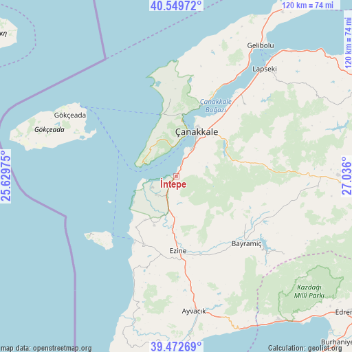
İntepe GPS coordinates[2]
40° 0' 47.988" North, 26° 19' 58.332" East
| Map corner | latitude | longitude |
|---|---|---|
| Upper-left | 40.54972°, | 25.62975° |
| Center: | 40.01333°, | 26.33287° |
| Lower-right: | 39.47269°, | 27.036° |
| Map W x H: | 119.8×119.8 km | = 74.4×74.4mi |
| max Lat: | 42.02683° ⇑30.9% North |
| İntepe: | 40.01333° |
| min Lat: | ⇓69.1% South 35.9025° |
| min Long | İntepe | max Long |
| 25.90902° | 26.33287° | 44.60099° |
| W 0.3%⇐ | ⇒99.7% E |
Elevation
Elevation of İntepe is 184 m = 604 ft, and this is 533.4 m = 1750 ft below average elevation for this country.
| Max E: |
2682 m = 8799 ft | 74.5% |
| Avg. | 717.4 m = 2354 ft | |
| İntepe | 184 m = 604 ft | |
Min E: |
0 m = 0 ft | 25.5% |
See also: Turkey elevation on elevation.city.
Geographical zone
İntepe is located in North temperate zone (between Tropic of Cancer and the Arctic Circle). Distance of this Northern Tropic circle is 1843.1 km =1145.2 mi to South.| Distance of | km | miles | from İntepe |
|---|---|---|---|
| North Pole | 5558 | 3453.6 | to North |
| Arctic Circle | 2952.1 | 1834.3 | to North |
| Tropic Cancer | 1843.1 | 1145.2 | to South |
| Equator | 4449.1 | 2764.5 | to South |


Nearby cities:
15 places around İntepe: (largest is in red/bold)
• Ayvacık
46.2 km =28.7 mi,  172°
172°
• Bayramiç
32.8 km =20.4 mi,  133°
133°
• Bozcaada
29.9 km =18.6 mi,  228°
228°
• Eceabat
19.1 km =11.9 mi,  6°
6°
• Etili
48.1 km =29.9 mi,  93°
93°
• Evciler
45.8 km =28.5 mi, 125°
• Ezine
25.3 km =15.7 mi,  178°
178°
• Geyikli
25.5 km =15.8 mi,  204°
204°
• Gökçeada
41.7 km =25.9 mi,  300°
300°
• Kirazlı
31.5 km =19.6 mi,  84°
84°
• Lapseki
47.4 km =29.5 mi,  39°
39°
• Merkez
14.9 km =9.3 mi,  30°
30°
• Umurbey
33.8 km =21 mi, 43°
• Yiğitler
28.7 km =17.8 mi,  124°
124°
• Çanakkale
17.2 km =10.7 mi,  23°
23°
Sources, notices
• [Note1] Compared only with cities in Turkey existing in our database
• [Src1] Map data: © OpenStreetMap contributors (CC-BY-SA)
• [Src2] Other city data from geonames.org with taken over terms of usage.
• [Src3] Geographical zone / Annual Mean Temperature by Robert A. Rohde @ Wikipedia
