Çarşamba geodata
Çarşamba (Samsun) is a seat of a second-order administrative division; located in Turkey in Europe/Istanbul (GMT+3) time zone. With population of 50,459 people, there are 171 cities with bigger population in this country. Compared to other cities in Turkey, 94% of cities are located further ↓South; 55.8% of cities are located further ←West and 92.2% of cities have higher elevation than Çarşamba. Note1


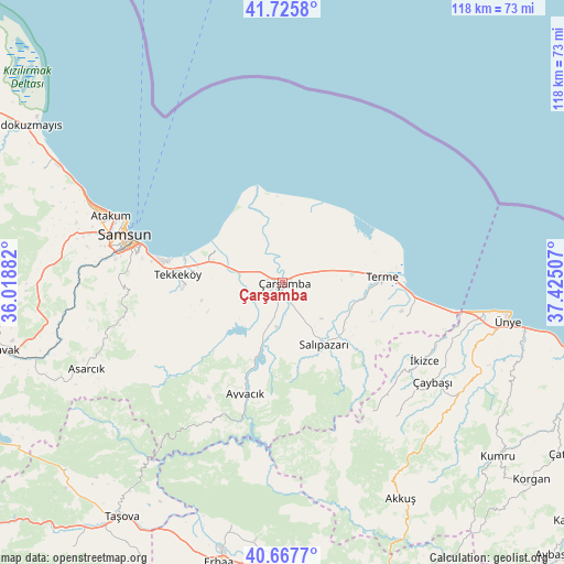
Çarşamba GPS coordinates[2]
41° 11' 56.004" North, 36° 43' 18.984" East
| Map corner | latitude | longitude |
|---|---|---|
| Upper-left | 41.7258°, | 36.01882° |
| Center: | 41.19889°, | 36.72194° |
| Lower-right: | 40.6677°, | 37.42507° |
| Map W x H: | 117.6×117.6 km | = 73.1×73.1mi |
| max Lat: | 42.02683° ⇑6% North |
| Çarşamba: | 41.19889° |
| min Lat: | ⇓94% South 35.9025° |
| min Long | Çarşamba | max Long |
| 25.90902° | 36.72194° | 44.60099° |
| W 55.8%⇐ | ⇒44.2% E |
Elevation
Elevation of Çarşamba is 28 m = 92 ft, and this is 689.4 m = 2262 ft below average elevation for this country.
| Max E: |
2682 m = 8799 ft | 92.2% |
| Avg. | 717.4 m = 2354 ft | |
| Çarşamba | 28 m = 92 ft | |
Min E: |
0 m = 0 ft | 7.8% |
See also: Çarşamba elevation on elevation.city.
Geographical zone
Çarşamba is located in North temperate zone (between Tropic of Cancer and the Arctic Circle). Distance of this Northern Tropic circle is 1975 km =1227.2 mi to South.| Distance of | km | miles | from Çarşamba |
|---|---|---|---|
| North Pole | 5426.2 | 3371.7 | to North |
| Arctic Circle | 2820.3 | 1752.5 | to North |
| Tropic Cancer | 1975 | 1227.2 | to South |
| Equator | 4580.9 | 2846.4 | to South |


Nearby cities:
15 places around Çarşamba: (largest is in red/bold)
• Akkuş
51.4 km =31.9 mi,  151°
151°
• Asarcık
44.6 km =27.7 mi,  245°
245°
• Ayvacık
24.3 km =15.1 mi,  198°
198°
• Dikbıyık
9.3 km =5.8 mi,  285°
285°
• Karayaka
51.8 km =32.2 mi,  192°
192°
• Salıpazarı
15.7 km =9.8 mi,  144°
144°
• Samsun
33.5 km =20.8 mi, 285°
• Tekkeköy
22 km =13.7 mi,  273°
273°
• Tekkiraz
43.7 km =27.2 mi,  122°
122°
• Terme
21.1 km =13.1 mi,  86°
86°
• Çaybaşı
37.4 km =23.2 mi, 122°
• Çayırkent
33 km =20.5 mi,  264°
264°
• Ünye
47.5 km =29.5 mi,  99°
99°
• İkizce
33.8 km =21 mi, 117°
• İlkadım
37.4 km =23.2 mi, 285°
Sources, notices
• [Note1] Compared only with cities in Turkey existing in our database
• [Src1] Map data: © OpenStreetMap contributors (CC-BY-SA)
• [Src2] Other city data from geonames.org with taken over terms of usage.
• [Src3] Geographical zone / Annual Mean Temperature by Robert A. Rohde @ Wikipedia
