Naberera geodata
Naberera (Manyara) is a populated place; located in Tanzania in Africa/Dar_es_Salaam (GMT+3) time zone. With population of 13,499 people, there are 195 cities with bigger population in this country. Compared to other cities in Tanzania, 68.5% of cities are located further ↓South; 64.7% of cities are located further ←West and 80.8% of cities have lower elevation than Naberera. Note1


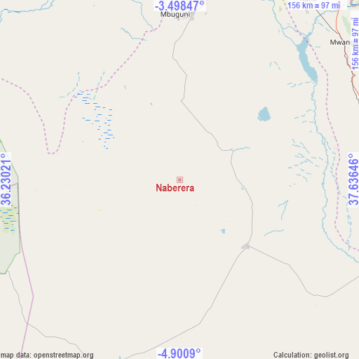
Naberera GPS coordinates[2]
4° 12' 0" South, 36° 55' 59.988" East
| Map corner | latitude | longitude |
|---|---|---|
| Upper-left | -3.49847°, | 36.23021° |
| Center: | -4.2°, | 36.93333° |
| Lower-right: | -4.9009°, | 37.63646° |
| Map W x H: | 155.9×155.9 km | = 96.9×96.9mi |
| max Lat: | -1.14389° ⇑31.5% North |
| Naberera: | -4.2° |
| min Lat: | ⇓68.5% South -11.36667° |
| min Long | Naberera | max Long |
| 29.62667° | 36.93333° | 40.33333° |
| W 64.7%⇐ | ⇒35.3% E |
Elevation
Elevation of Naberera is 1430 m = 4692 ft, and this is 487.2 m = 1598 ft above average elevation for this country.
| Max E: |
2377 m = 7799 ft | 19.2% |
| Naberera | 1430 m 4692 ft | |
| Avg. | 942.8 m = 3093 ft | |
Min E: |
0 m = 0 ft | 80.8% |
See also: Tanzania elevation on elevation.city.
Geographical zone
Naberera is located in South Torrid zone (between Equator and Tropic of Capricorn). Distance of Equator is 467 km =290.2 mi to North.| Distance of | km | miles | from Naberera |
|---|---|---|---|
| Equator | 467 | 290.2 | to North |
| Tropic Capricorn | 2138.9 | 1329.1 | to South |
| Antarctic Circle | 6934.2 | 4308.7 | to South |
| South Pole | 9540.1 | 5927.9 | to South |


Nearby cities:
15 places around Naberera: (largest is in red/bold)
• Arusha
96.7 km =60.1 mi,  343°
343°
• Hedaru
112.2 km =69.7 mi,  107°
107°
• Kingori
102.1 km =63.4 mi,  3°
3°
• Kirya
68.7 km =42.7 mi,  62°
62°
• Kwakoa
99.4 km =61.8 mi, 60°
• Lembeni
88.8 km =55.2 mi, 58°
• Makanya
101.5 km =63.1 mi,  100°
100°
• Mbuguni
70.4 km =43.7 mi, 1°
• Merelani
71.1 km =44.2 mi, 4°
• Moshi
104.4 km =64.9 mi,  25°
25°
• Mwembe
101.8 km =63.3 mi,  86°
86°
• Nkoaranga
97.5 km =60.6 mi,  351°
351°
• Poli
97.5 km =60.6 mi, 351°
• Same
90 km =55.9 mi,  80°
80°
• Usa River
93.1 km =57.8 mi, 354°
Sources, notices
• [Note1] Compared only with cities in Tanzania existing in our database
• [Src1] Map data: © OpenStreetMap contributors (CC-BY-SA)
• [Src2] Other city data from geonames.org with taken over terms of usage.
• [Src3] Geographical zone / Annual Mean Temperature by Robert A. Rohde @ Wikipedia
