Butiama geodata
Butiama (Mara) is a populated place; located in Tanzania in Africa/Dar_es_Salaam (GMT+3) time zone. With population of 16,376 people, there are 172 cities with bigger population in this country. Compared to other cities in Tanzania, 95.8% of cities are located further ↓South; 65.7% of cities are located further →East and 83.9% of cities have lower elevation than Butiama. Note1


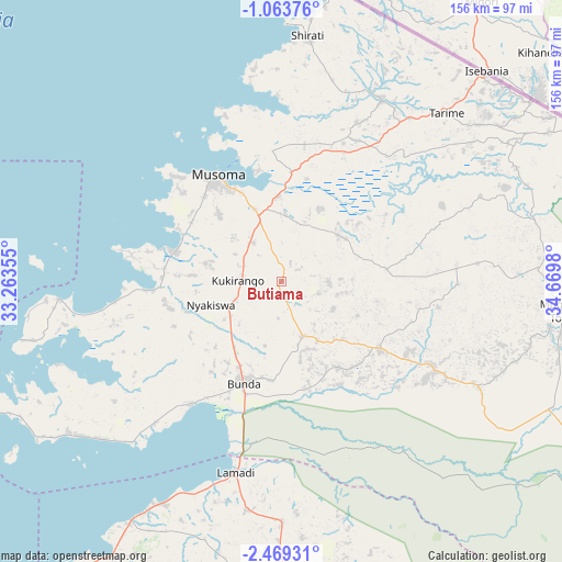
Butiama GPS coordinates[2]
1° 46' 0.012" South, 33° 58' 0.012" East
| Map corner | latitude | longitude |
|---|---|---|
| Upper-left | -1.06376°, | 33.26355° |
| Center: | -1.76667°, | 33.96667° |
| Lower-right: | -2.46931°, | 34.6698° |
| Map W x H: | 156.3×156.3 km | = 97.1×97.1mi |
| max Lat: | -1.14389° ⇑4.2% North |
| Butiama: | -1.76667° |
| min Lat: | ⇓95.8% South -11.36667° |
| min Long | Butiama | max Long |
| 29.62667° | 33.96667° | 40.33333° |
| W 34.3%⇐ | ⇒65.7% E |
Elevation
Elevation of Butiama is 1500 m = 4921 ft, and this is 557.2 m = 1828 ft above average elevation for this country.
| Max E: |
2377 m = 7799 ft | 16.1% |
| Butiama | 1500 m 4921 ft | |
| Avg. | 942.8 m = 3093 ft | |
Min E: |
0 m = 0 ft | 83.9% |
See also: Tanzania elevation on elevation.city.
Geographical zone
Butiama is located in South Torrid zone (between Equator and Tropic of Capricorn). Distance of Equator is 196.4 km =122 mi to North.| Distance of | km | miles | from Butiama |
|---|---|---|---|
| Equator | 196.4 | 122 | to North |
| Tropic Capricorn | 2409.5 | 1497.2 | to South |
| Antarctic Circle | 7204.7 | 4476.8 | to South |
| South Pole | 9810.6 | 6096 | to South |


Nearby cities:
15 places around Butiama: (largest is in red/bold)
• Bunda
33.4 km =20.8 mi,  199°
199°
• Issenye
48.3 km =30 mi,  122°
122°
• Kibara
71.5 km =44.4 mi,  233°
233°
• Kihangara
113.8 km =70.7 mi,  217°
217°
• Maswa
101.9 km =63.3 mi,  178°
178°
• Matonga
69.8 km =43.4 mi,  169°
169°
• Mugango
31.1 km =19.3 mi,  287°
287°
• Mugumu
82 km =51 mi,  96°
96°
• Musoma
35 km =21.7 mi,  328°
328°
• Nakatunguru
107.3 km =66.7 mi,  248°
248°
• Nansio
109.7 km =68.2 mi, 248°
• Nyakabindi
96.4 km =59.9 mi, 178°
• Nyamuswa
15.8 km =9.8 mi,  159°
159°
• Sirari
80.4 km =50 mi,  44°
44°
• Tarime
64.2 km =39.9 mi, 43°
Sources, notices
• [Note1] Compared only with cities in Tanzania existing in our database
• [Src1] Map data: © OpenStreetMap contributors (CC-BY-SA)
• [Src2] Other city data from geonames.org with taken over terms of usage.
• [Src3] Geographical zone / Annual Mean Temperature by Robert A. Rohde @ Wikipedia
