Velykyy Klyuchiv geodata
Velykyy Klyuchiv (Ivano-Frankivsk) is a populated place; located in Ukraine in Europe/Kiev (GMT+3) time zone. With population of 3,290 people, there are 871 cities with bigger population in this country. Compared to other cities in Ukraine, 54.8% of cities are located further ↓South; 86.1% of cities are located further →East and 95.7% of cities have lower elevation than Velykyy Klyuchiv. Note1


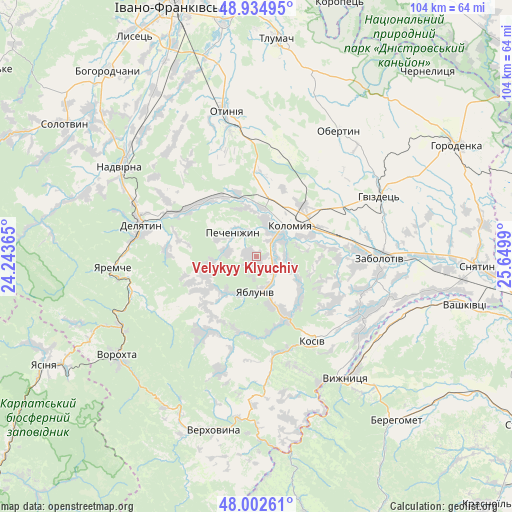
Velykyy Klyuchiv GPS coordinates[2]
48° 28' 15.312" North, 24° 56' 48.372" East
| Map corner | latitude | longitude |
|---|---|---|
| Upper-left | 48.93495°, | 24.24365° |
| Center: | 48.47092°, | 24.94677° |
| Lower-right: | 48.00261°, | 25.6499° |
| Map W x H: | 103.7×103.7 km | = 64.4×64.4mi |
| max Lat: | 52.18903° ⇑45.2% North |
| Velykyy Klyuchiv: | 48.47092° |
| min Lat: | ⇓54.8% South 44.39214° |
| min Long | Velykyy Klyuchi | max Long |
| 22.20555° | 24.94677° | 40.13222° |
| W 13.9%⇐ | ⇒86.1% E |
Elevation
Elevation of Velykyy Klyuchiv is 378 m = 1240 ft, and this is 222.2 m = 729 ft above average elevation for this country.
| Max E: |
886 m = 2907 ft | 4.3% |
| Velykyy Klyuchiv | 378 m 1240 ft | |
| Avg. | 155.8 m = 511 ft | |
Min E: |
-3 m = -10 ft | 95.7% |
See also: Ukraine elevation on elevation.city.
Geographical zone
Velykyy Klyuchiv is located in North temperate zone (between Tropic of Cancer and the Arctic Circle). Distance of this North polar circle is 2011.7 km =1250 mi to North.| Distance of | km | miles | from Velykyy Klyuchiv |
|---|---|---|---|
| North Pole | 4617.6 | 2869.2 | to North |
| Arctic Circle | 2011.7 | 1250 | to North |
| Tropic Cancer | 2783.5 | 1729.6 | to South |
| Equator | 5389.5 | 3348.9 | to South |


Nearby cities:
15 places around Velykyy Klyuchiv: (largest is in red/bold)
• Bili Oslavy
18.2 km =11.3 mi,  275°
275°
• Delyatyn
24.4 km =15.2 mi, 283°
• Khymchyn
17.6 km =10.9 mi,  122°
122°
• Kolomyia
9.4 km =5.8 mi,  44°
44°
• Kosiv
20.9 km =13 mi,  148°
148°
• Kosmach
18.2 km =11.3 mi,  210°
210°
• Krasna
21.6 km =13.4 mi,  302°
302°
• Lanchyn
17 km =10.6 mi, 304°
• Pechenizhyn
6.3 km =3.9 mi,  322°
322°
• Rechka
21.2 km =13.2 mi,  182°
182°
• Rozhniv
23.7 km =14.7 mi, 119°
• Sadzhavka
15.8 km =9.8 mi,  312°
312°
• Sheshory
15.7 km =9.8 mi,  170°
170°
• Yabluniv
7.4 km =4.6 mi, 184°
• Zarichchya
22.7 km =14.1 mi, 284°
Sources, notices
• [Note1] Compared only with cities in Ukraine existing in our database
• [Src1] Map data: © OpenStreetMap contributors (CC-BY-SA)
• [Src2] Other city data from geonames.org with taken over terms of usage.
• [Src3] Geographical zone / Annual Mean Temperature by Robert A. Rohde @ Wikipedia
