Onufriyivka geodata
Onufriyivka (Kirovohrad) is a seat of a second-order administrative division; located in Ukraine in Europe/Kiev (GMT+3) time zone. With population of 4,298 people, there are 722 cities with bigger population in this country. Compared to other cities in Ukraine, 64.1% of cities are located further ↓South; 51.2% of cities are located further ←West and 61.4% of cities have higher elevation than Onufriyivka. Note1


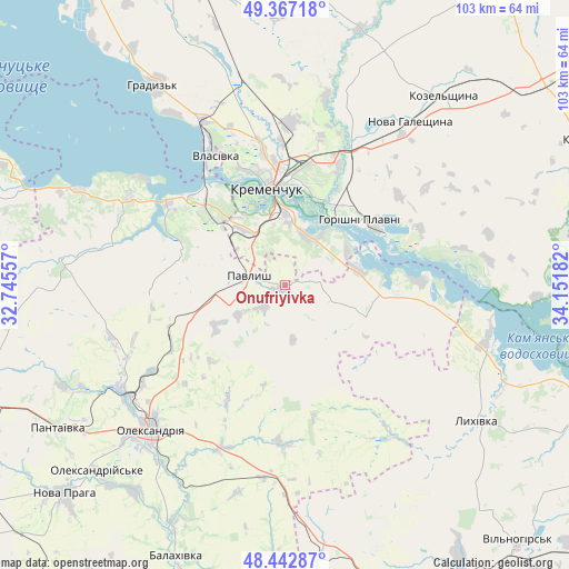
Onufriyivka GPS coordinates[2]
48° 54' 25.776" North, 33° 26' 55.284" East
| Map corner | latitude | longitude |
|---|---|---|
| Upper-left | 49.36718°, | 32.74557° |
| Center: | 48.90716°, | 33.44869° |
| Lower-right: | 48.44287°, | 34.15182° |
| Map W x H: | 102.8×102.8 km | = 63.9×63.9mi |
| max Lat: | 52.18903° ⇑35.9% North |
| Onufriyivka: | 48.90716° |
| min Lat: | ⇓64.1% South 44.39214° |
| min Long | Onufriyivka | max Long |
| 22.20555° | 33.44869° | 40.13222° |
| W 51.2%⇐ | ⇒48.8% E |
Elevation
Elevation of Onufriyivka is 101 m = 331 ft, and this is 54.8 m = 180 ft below average elevation for this country.
| Max E: |
886 m = 2907 ft | 61.4% |
| Avg. | 155.8 m = 511 ft | |
| Onufriyivka | 101 m = 331 ft | |
Min E: |
-3 m = -10 ft | 38.6% |
See also: Ukraine elevation on elevation.city.
Geographical zone
Onufriyivka is located in North temperate zone (between Tropic of Cancer and the Arctic Circle). Distance of this North polar circle is 1963.2 km =1219.9 mi to North.| Distance of | km | miles | from Onufriyivka |
|---|---|---|---|
| North Pole | 4569.1 | 2839.1 | to North |
| Arctic Circle | 1963.2 | 1219.9 | to North |
| Tropic Cancer | 2832 | 1759.7 | to South |
| Equator | 5438 | 3379 | to South |


Nearby cities:
15 places around Onufriyivka: (largest is in red/bold)
• Horishni Plavni
17.8 km =11.1 mi,  49°
49°
• Hradyz’k
42.9 km =26.7 mi,  327°
327°
• Kamennyye Potoki
9.9 km =6.2 mi,  35°
35°
• Kozel’shchyna
45.1 km =28 mi, 40°
• Kremenchuk
18 km =11.2 mi,  353°
353°
• Lutovynivka
49.5 km =30.8 mi, 42°
• Lykhivka
42.5 km =26.4 mi,  125°
125°
• Nova Praha
55 km =34.2 mi,  226°
226°
• Novyy Starodub
48 km =29.8 mi,  204°
204°
• Oleksandriya
35.9 km =22.3 mi,  222°
222°
• Oleksandriys’ke
47.7 km =29.6 mi, 225°
• Pantayivka
48.8 km =30.3 mi,  237°
237°
• Pavlysh
6.8 km =4.2 mi,  279°
279°
• Pryyutivka
34.6 km =21.5 mi, 233°
• Svitlovods’k
21.9 km =13.6 mi,  316°
316°
Sources, notices
• [Note1] Compared only with cities in Ukraine existing in our database
• [Src1] Map data: © OpenStreetMap contributors (CC-BY-SA)
• [Src2] Other city data from geonames.org with taken over terms of usage.
• [Src3] Geographical zone / Annual Mean Temperature by Robert A. Rohde @ Wikipedia
