Liuboml geodata
Liuboml (Volyn) is a seat of a second-order administrative division; located in Ukraine in Europe/Kiev (GMT+3) time zone. With population of 10,000 people, there are 360 cities with bigger population in this country. Compared to other cities in Ukraine, 97% of cities are located further ↓South; 92.3% of cities are located further →East and 65.7% of cities have lower elevation than Liuboml. Note1


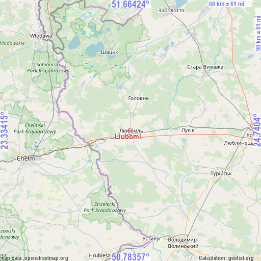
Liuboml GPS coordinates[2]
51° 13' 33.636" North, 24° 2' 14.172" East
| Map corner | latitude | longitude |
|---|---|---|
| Upper-left | 51.66424°, | 23.33415° |
| Center: | 51.22601°, | 24.03727° |
| Lower-right: | 50.78357°, | 24.7404° |
| Map W x H: | 97.9×97.9 km | = 60.8×60.8mi |
| max Lat: | 52.18903° ⇑3% North |
| Liuboml: | 51.22601° |
| min Lat: | ⇓97% South 44.39214° |
| min Long | Liuboml | max Long |
| 22.20555° | 24.03727° | 40.13222° |
| W 7.7%⇐ | ⇒92.3% E |
Elevation
Elevation of Liuboml is 188 m = 617 ft, and this is 32.2 m = 106 ft above average elevation for this country.
| Max E: |
886 m = 2907 ft | 34.3% |
| Liuboml | 188 m 617 ft | |
| Avg. | 155.8 m = 511 ft | |
Min E: |
-3 m = -10 ft | 65.7% |
See also: Ukraine elevation on elevation.city.
Geographical zone
Liuboml is located in North temperate zone (between Tropic of Cancer and the Arctic Circle). Distance of this North polar circle is 1705.4 km =1059.7 mi to North.| Distance of | km | miles | from Liuboml |
|---|---|---|---|
| North Pole | 4311.3 | 2678.9 | to North |
| Arctic Circle | 1705.4 | 1059.7 | to North |
| Tropic Cancer | 3089.9 | 1920 | to South |
| Equator | 5695.8 | 3539.2 | to South |


Nearby cities:
15 places around Liuboml: (largest is in red/bold)
• Blahodatne
64.3 km =40 mi,  166°
166°
• Hołoby
69.4 km =43.1 mi,  102°
102°
• Ivanychi
69.1 km =42.9 mi,  160°
160°
• Kovel
46.8 km =29.1 mi,  91°
91°
• Lokachi
69.2 km =43 mi,  141°
141°
• Novovolyns’k
56.3 km =35 mi, 171°
• Oles’k
16.7 km =10.4 mi, 140°
• Pidrichchya
66.1 km =41.1 mi,  52°
52°
• Pishcha
45.2 km =28.1 mi,  340°
340°
• Ratne
59.9 km =37.2 mi,  34°
34°
• Shats’k
31.5 km =19.6 mi,  347°
347°
• Stara Vyzhivka
36.6 km =22.7 mi, 49°
• Svityaz’
31 km =19.3 mi, 336°
• Turiys’k
37.3 km =23.2 mi,  114°
114°
• Volodymyr-Volynskyi
46.1 km =28.6 mi,  154°
154°
Sources, notices
• [Note1] Compared only with cities in Ukraine existing in our database
• [Src1] Map data: © OpenStreetMap contributors (CC-BY-SA)
• [Src2] Other city data from geonames.org with taken over terms of usage.
• [Src3] Geographical zone / Annual Mean Temperature by Robert A. Rohde @ Wikipedia
