Butebo geodata
Butebo (Eastern Region) is a seat of a second-order administrative division; located in Uganda in Africa/Kampala (GMT+3) time zone. In our database, there are 80 cities with bigger population. Compared to other cities in Uganda, 64.4% of cities are located further ↓South; 84.9% of cities are located further ←West and 65.8% of cities have higher elevation than Butebo. Note1
Administrative division(s):
- Level 1: Eastern Region
- Level 2: Butebo
- Level 3: Butebo County
- Level 4: Petete


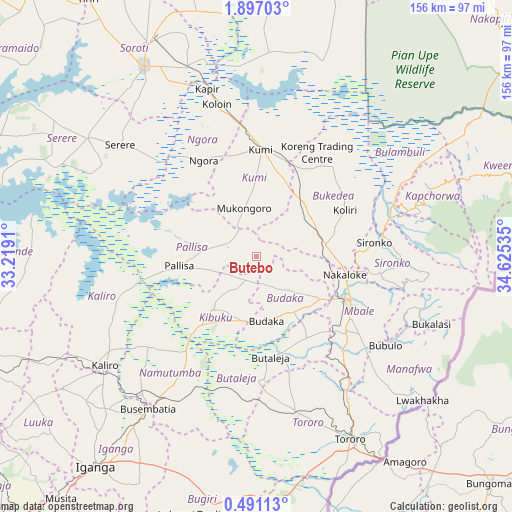
Butebo GPS coordinates[2]
1° 11' 39.012" North, 33° 55' 19.992" East
| Map corner | latitude | longitude |
|---|---|---|
| Upper-left | 1.89703°, | 33.2191° |
| Center: | 1.19417°, | 33.92222° |
| Lower-right: | 0.49113°, | 34.62535° |
| Map W x H: | 156.3×156.3 km | = 97.1×97.1mi |
| max Lat: | 3.66088° ⇑35.6% North |
| Butebo: | 1.19417° |
| min Lat: | ⇓64.4% South -1.28538° |
| min Long | Butebo | max Long |
| 29.65° | 33.92222° | 34.95° |
| W 84.9%⇐ | ⇒15.1% E |
Elevation
Elevation of Butebo is 1128 m = 3701 ft, and this is 131 m = 430 ft below average elevation for this country.
| Max E: |
4129 m = 13547 ft | 65.8% |
| Avg. | 1259 m = 4131 ft | |
| Butebo | 1128 m = 3701 ft | |
Min E: |
622 m = 2041 ft | 34.2% |
See also: Uganda elevation on elevation.city.
Geographical zone
Butebo is located in North Torrid zone (between Equator and Tropic of Cancer). Distance of Equator is 132.8 km =82.5 mi to South.| Distance of | km | miles | from Butebo |
|---|---|---|---|
| North Pole | 9874.3 | 6135.6 | to North |
| Arctic Circle | 7268.4 | 4516.4 | to North |
| Tropic Cancer | 2473.1 | 1536.7 | to North |
| Equator | 132.8 | 82.5 | to South |


Nearby cities:
15 places around Butebo: (largest is in red/bold)
• Budaka
21.2 km =13.2 mi,  178°
178°
• Bududa
49.8 km =30.9 mi,  114°
114°
• Bukedea
19.7 km =12.2 mi,  46°
46°
• Bulambuli
51.4 km =31.9 mi,  93°
93°
• Busembatia
57 km =35.4 mi,  215°
215°
• Butaleja
31.5 km =19.6 mi,  174°
174°
• Kaliro
57.6 km =35.8 mi,  234°
234°
• Kibuku
21.8 km =13.5 mi, 219°
• Kumi
29.7 km =18.5 mi,  2°
2°
• Manafwa
55.7 km =34.6 mi,  115°
115°
• Mbale
30.7 km =19.1 mi, 113°
• Namutumba
47.7 km =29.6 mi,  213°
213°
• Ngora
30.9 km =19.2 mi,  328°
328°
• Pallisa
24.3 km =15.1 mi,  256°
256°
• Sironko
36.4 km =22.6 mi,  83°
83°
Sources, notices
• [Note1] Compared only with cities in Uganda existing in our database
• [Src1] Map data: © OpenStreetMap contributors (CC-BY-SA)
• [Src2] Other city data from geonames.org with taken over terms of usage.
• [Src3] Geographical zone / Annual Mean Temperature by Robert A. Rohde @ Wikipedia
