Pallisa geodata
Pallisa (Eastern Region) is a seat of a second-order administrative division; located in Uganda in Africa/Kampala (GMT+3) time zone. With population of 30,745 people, there are 25 cities with bigger population in this country. Compared to other cities in Uganda, 62.3% of cities are located further ↓South; 81.5% of cities are located further ←West and 87.7% of cities have higher elevation than Pallisa. Note1
Administrative division(s):
- Level 1: Eastern Region
- Level 2: Pallisa District
- Level 3: Pallisa County
- Level 4: Pallisa Town Council


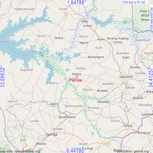
Pallisa GPS coordinates[2]
1° 8' 42" North, 33° 42' 33.984" East
| Map corner | latitude | longitude |
|---|---|---|
| Upper-left | 1.84788°, | 33.00632° |
| Center: | 1.145°, | 33.70944° |
| Lower-right: | 0.44195°, | 34.41257° |
| Map W x H: | 156.3×156.3 km | = 97.1×97.1mi |
| max Lat: | 3.66088° ⇑37.7% North |
| Pallisa: | 1.145° |
| min Lat: | ⇓62.3% South -1.28538° |
| min Long | Pallisa | max Long |
| 29.65° | 33.70944° | 34.95° |
| W 81.5%⇐ | ⇒18.5% E |
Elevation
Elevation of Pallisa is 1056 m = 3465 ft, and this is 203 m = 666 ft below average elevation for this country.
| Max E: |
4129 m = 13547 ft | 87.7% |
| Avg. | 1259 m = 4131 ft | |
| Pallisa | 1056 m = 3465 ft | |
Min E: |
622 m = 2041 ft | 12.3% |
See also: Uganda elevation on elevation.city.
Geographical zone
Pallisa is located in North Torrid zone (between Equator and Tropic of Cancer). Distance of Equator is 127.3 km =79.1 mi to South.| Distance of | km | miles | from Pallisa |
|---|---|---|---|
| North Pole | 9879.7 | 6139 | to North |
| Arctic Circle | 7273.9 | 4519.8 | to North |
| Tropic Cancer | 2478.6 | 1540.1 | to North |
| Equator | 127.3 | 79.1 | to South |


Nearby cities:
15 places around Pallisa: (largest is in red/bold)
• Budaka
28.7 km =17.8 mi,  123°
123°
• Bugiri
63.9 km =39.7 mi,  176°
176°
• Bukedea
42.5 km =26.4 mi,  63°
63°
• Busembatia
42 km =26.1 mi,  193°
193°
• Butaleja
37.3 km =23.2 mi,  133°
133°
• Butebo
24.3 km =15.1 mi,  76°
76°
• Buyende
61.6 km =38.3 mi,  270°
270°
• Kaliro
36.3 km =22.6 mi,  219°
219°
• Kibuku
15 km =9.3 mi,  139°
139°
• Kumi
43.2 km =26.8 mi,  35°
35°
• Mbale
52.2 km =32.4 mi,  97°
97°
• Namutumba
34.4 km =21.4 mi, 184°
• Ngora
32.7 km =20.3 mi,  13°
13°
• Serere
48 km =29.8 mi,  323°
323°
• Sironko
60.6 km =37.7 mi, 80°
Sources, notices
• [Note1] Compared only with cities in Uganda existing in our database
• [Src1] Map data: © OpenStreetMap contributors (CC-BY-SA)
• [Src2] Other city data from geonames.org with taken over terms of usage.
• [Src3] Geographical zone / Annual Mean Temperature by Robert A. Rohde @ Wikipedia
