Austell geodata
Austell (Georgia) is a populated place; located in United States in America/New_York (GMT-4) time zone. With population of 7,107 people, there are 5760 cities with bigger population in this country. Compared to other cities in United States, 81.5% of cities are located further ↑North; 56.8% of cities are located further ←West and 69.9% of cities have lower elevation than Austell. Note1


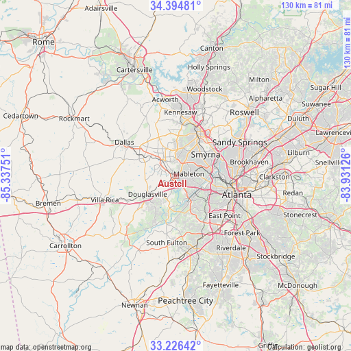
Austell GPS coordinates[2]
33° 48' 45.396" North, 84° 38' 3.768" West
| Map corner | latitude | longitude |
|---|---|---|
| Upper-left | 34.39481°, | -85.33751° |
| Center: | 33.81261°, | -84.63438° |
| Lower-right: | 33.22642°, | -83.93126° |
| Map W x H: | 129.9×129.9 km | = 80.7×80.7mi |
| max Lat: | 71.29058° ⇑81.5% North |
| Austell: | 33.81261° |
| min Lat: | ⇓18.5% South 19.06759° |
| min Long | Austell | max Long |
| -171.73463° | -84.63438° | -66.98998° |
| W 56.8%⇐ | ⇒43.2% E |
Elevation
Elevation of Austell is 285 m = 935 ft, and this is 9.8 m = 32 ft below average elevation for this country.
| Max E: |
3189 m = 10463 ft | 30.1% |
| Avg. | 294.8 m = 967 ft | |
| Austell | 285 m = 935 ft | |
Min E: |
-60 m = -197 ft | 69.9% |
See also: United States elevation on elevation.city.
Geographical zone
Austell is located in North temperate zone (between Tropic of Cancer and the Arctic Circle). Distance of this Northern Tropic circle is 1153.7 km =716.9 mi to South.| Distance of | km | miles | from Austell |
|---|---|---|---|
| North Pole | 6247.5 | 3882 | to North |
| Arctic Circle | 3641.6 | 2262.8 | to North |
| Tropic Cancer | 1153.7 | 716.9 | to South |
| Equator | 3759.6 | 2336.1 | to South |


Nearby cities:
15 places around Austell: (largest is in red/bold)
• Atlanta
23.8 km =14.8 mi,  107°
107°
• College Park
24.6 km =15.3 mi,  135°
135°
• Dallas
22.7 km =14.1 mi,  302°
302°
• Douglasville
12.5 km =7.8 mi,  237°
237°
• East Point
23.3 km =14.5 mi,  129°
129°
• Fair Oaks
14.2 km =8.8 mi,  35°
35°
• Hiram
13.7 km =8.5 mi, 300°
• Kennesaw
23.5 km =14.6 mi,  4°
4°
• Lithia Springs
3.2 km =2 mi,  229°
229°
• Mableton
4.8 km =3 mi,  81°
81°
• Marietta
17.4 km =10.8 mi,  26°
26°
• Powder Springs
6.9 km =4.3 mi,  318°
318°
• Smyrna
13.6 km =8.5 mi,  54°
54°
• Union City
26.5 km =16.5 mi,  161°
161°
• Vinings
16.7 km =10.4 mi,  69°
69°
Sources, notices
• [Note1] Compared only with cities in United States existing in our database
• [Src1] Map data: © OpenStreetMap contributors (CC-BY-SA)
• [Src2] Other city data from geonames.org with taken over terms of usage.
• [Src3] Geographical zone / Annual Mean Temperature by Robert A. Rohde @ Wikipedia
