Wrightsville geodata
Wrightsville (Georgia) is a seat of a second-order administrative division; located in United States in America/New_York (GMT-4) time zone. With population of 3,642 people, there are 8669 cities with bigger population in this country. Compared to other cities in United States, 86.3% of cities are located further ↑North; 62.9% of cities are located further ←West and 68.9% of cities have higher elevation than Wrightsville. Note1


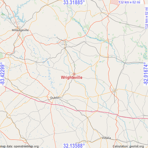
Wrightsville GPS coordinates[2]
32° 43' 45.588" North, 82° 43' 11.496" West
| Map corner | latitude | longitude |
|---|---|---|
| Upper-left | 33.31885°, | -83.42299° |
| Center: | 32.72933°, | -82.71986° |
| Lower-right: | 32.13588°, | -82.01674° |
| Map W x H: | 131.5×131.5 km | = 81.7×81.7mi |
| max Lat: | 71.29058° ⇑86.3% North |
| Wrightsville: | 32.72933° |
| min Lat: | ⇓13.7% South 19.06759° |
| min Long | Wrightsville | max Long |
| -171.73463° | -82.71986° | -66.98998° |
| W 62.9%⇐ | ⇒37.1% E |
Elevation
Elevation of Wrightsville is 107 m = 351 ft, and this is 187.8 m = 616 ft below average elevation for this country.
| Max E: |
3189 m = 10463 ft | 68.9% |
| Avg. | 294.8 m = 967 ft | |
| Wrightsville | 107 m = 351 ft | |
Min E: |
-60 m = -197 ft | 31.1% |
See also: United States elevation on elevation.city.
Geographical zone
Wrightsville is located in North temperate zone (between Tropic of Cancer and the Arctic Circle). Distance of this Northern Tropic circle is 1033.2 km =642 mi to South.| Distance of | km | miles | from Wrightsville |
|---|---|---|---|
| North Pole | 6367.9 | 3956.8 | to North |
| Arctic Circle | 3762 | 2337.6 | to North |
| Tropic Cancer | 1033.2 | 642 | to South |
| Equator | 3639.2 | 2261.3 | to South |


Nearby cities:
15 places around Wrightsville: (largest is in red/bold)
• Adrian
25.2 km =15.7 mi,  151°
151°
• Davisboro
29.7 km =18.5 mi,  20°
20°
• Dexter
46 km =28.6 mi,  224°
224°
• Dublin
27.2 km =16.9 mi, 219°
• Dudley
38.9 km =24.2 mi,  237°
237°
• East Dublin
24.7 km =15.3 mi, 215°
• Irwinton
43.3 km =26.9 mi,  282°
282°
• Louisville
41.8 km =26 mi,  43°
43°
• McIntyre
45.9 km =28.5 mi,  286°
286°
• Sandersville
29.3 km =18.2 mi,  343°
343°
• Soperton
40.9 km =25.4 mi,  163°
163°
• Sparks
39.9 km =24.8 mi,  357°
357°
• Swainsboro
39 km =24.2 mi,  112°
112°
• Tennille
24.5 km =15.2 mi, 339°
• Wadley
33.2 km =20.6 mi,  62°
62°
Sources, notices
• [Note1] Compared only with cities in United States existing in our database
• [Src1] Map data: © OpenStreetMap contributors (CC-BY-SA)
• [Src2] Other city data from geonames.org with taken over terms of usage.
• [Src3] Geographical zone / Annual Mean Temperature by Robert A. Rohde @ Wikipedia
