Marquette geodata
Marquette (Kansas) is a populated place; located in United States in America/Chicago (GMT-5) time zone. With population of 622 people, there are 19448 cities with bigger population in this country. Compared to other cities in United States, 58.4% of cities are located further ↑North; 78.1% of cities are located further →East and 85.2% of cities have lower elevation than Marquette. Note1
Administrative division(s):
- Level 1: Kansas
- Level 2: McPherson County
- Level 3: Township of Marquette


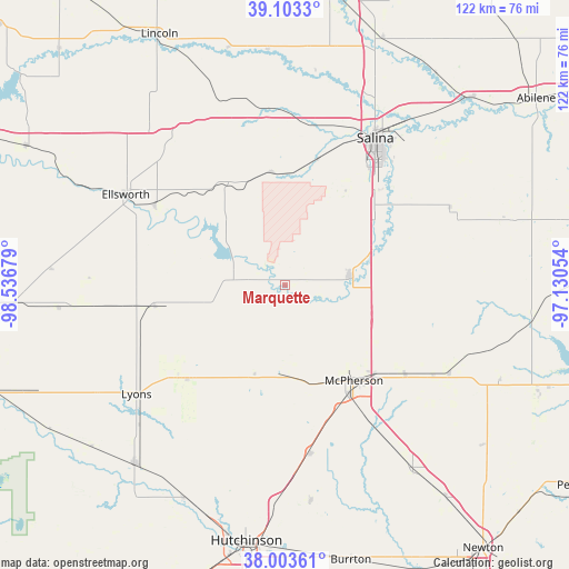
Marquette GPS coordinates[2]
38° 33' 20.016" North, 97° 50' 1.176" West
| Map corner | latitude | longitude |
|---|---|---|
| Upper-left | 39.1033°, | -98.53679° |
| Center: | 38.55556°, | -97.83366° |
| Lower-right: | 38.00361°, | -97.13054° |
| Map W x H: | 122.3×122.3 km | = 76×76mi |
| max Lat: | 71.29058° ⇑58.4% North |
| Marquette: | 38.55556° |
| min Lat: | ⇓41.6% South 19.06759° |
| min Long | Marquette | max Long |
| -171.73463° | -97.83366° | -66.98998° |
| W 21.9%⇐ | ⇒78.1% E |
Elevation
Elevation of Marquette is 429 m = 1407 ft, and this is 134.2 m = 440 ft above average elevation for this country.
| Max E: |
3189 m = 10463 ft | 14.8% |
| Marquette | 429 m 1407 ft | |
| Avg. | 294.8 m = 967 ft | |
Min E: |
-60 m = -197 ft | 85.2% |
See also: United States elevation on elevation.city.
Geographical zone
Marquette is located in North temperate zone (between Tropic of Cancer and the Arctic Circle). Distance of this Northern Tropic circle is 1681.1 km =1044.6 mi to South.| Distance of | km | miles | from Marquette |
|---|---|---|---|
| North Pole | 5720.1 | 3554.3 | to North |
| Arctic Circle | 3114.2 | 1935.1 | to North |
| Tropic Cancer | 1681.1 | 1044.6 | to South |
| Equator | 4287 | 2663.8 | to South |


Nearby cities:
15 places around Marquette: (largest is in red/bold)
• Buhler
47.2 km =29.3 mi,  173°
173°
• Canton
40 km =24.9 mi,  118°
118°
• Ellsworth
39.4 km =24.5 mi,  299°
299°
• Galva
32.2 km =20 mi,  126°
126°
• Goessel
54.5 km =33.9 mi, 129°
• Hutchinson
55.6 km =34.5 mi,  188°
188°
• Inman
36.4 km =22.6 mi, 171°
• Lindsborg
14 km =8.7 mi,  81°
81°
• Little River
23.4 km =14.5 mi,  221°
221°
• Lyons
39.7 km =24.7 mi,  233°
233°
• McPherson
25.3 km =15.7 mi,  144°
144°
• Moundridge
47.8 km =29.7 mi,  145°
145°
• Nickerson
50.4 km =31.3 mi,  205°
205°
• Salina
37.1 km =23.1 mi,  31°
31°
• Sterling
50.3 km =31.3 mi, 220°
Sources, notices
• [Note1] Compared only with cities in United States existing in our database
• [Src1] Map data: © OpenStreetMap contributors (CC-BY-SA)
• [Src2] Other city data from geonames.org with taken over terms of usage.
• [Src3] Geographical zone / Annual Mean Temperature by Robert A. Rohde @ Wikipedia
