Okeene geodata
Okeene (Oklahoma) is a populated place; located in United States in America/Chicago (GMT-5) time zone. With population of 1,213 people, there are 15051 cities with bigger population in this country. Compared to other cities in United States, 69.8% of cities are located further ↑North; 79.1% of cities are located further →East and 82% of cities have lower elevation than Okeene. Note1


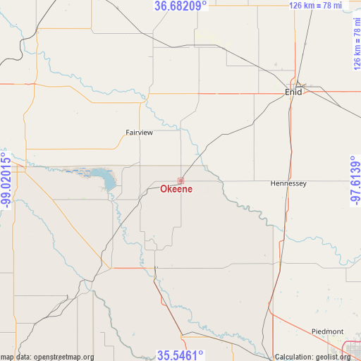
Okeene GPS coordinates[2]
36° 6' 58.14" North, 98° 19' 1.272" West
| Map corner | latitude | longitude |
|---|---|---|
| Upper-left | 36.68209°, | -99.02015° |
| Center: | 36.11615°, | -98.31702° |
| Lower-right: | 35.5461°, | -97.6139° |
| Map W x H: | 126.3×126.3 km | = 78.5×78.5mi |
| max Lat: | 71.29058° ⇑69.8% North |
| Okeene: | 36.11615° |
| min Lat: | ⇓30.2% South 19.06759° |
| min Long | Okeene | max Long |
| -171.73463° | -98.31702° | -66.98998° |
| W 20.9%⇐ | ⇒79.1% E |
Elevation
Elevation of Okeene is 376 m = 1234 ft, and this is 81.2 m = 266 ft above average elevation for this country.
| Max E: |
3189 m = 10463 ft | 18% |
| Okeene | 376 m 1234 ft | |
| Avg. | 294.8 m = 967 ft | |
Min E: |
-60 m = -197 ft | 82% |
See also: United States elevation on elevation.city.
Geographical zone
Okeene is located in North temperate zone (between Tropic of Cancer and the Arctic Circle). Distance of this Northern Tropic circle is 1409.8 km =876 mi to South.| Distance of | km | miles | from Okeene |
|---|---|---|---|
| North Pole | 5991.3 | 3722.8 | to North |
| Arctic Circle | 3385.4 | 2103.6 | to North |
| Tropic Cancer | 1409.8 | 876 | to South |
| Equator | 4015.7 | 2495.2 | to South |


Nearby cities:
15 places around Okeene: (largest is in red/bold)
• Canton
25.4 km =15.8 mi,  254°
254°
• Enid
50.1 km =31.1 mi,  51°
51°
• Fairview
22.4 km =13.9 mi,  319°
319°
• Geary
53.9 km =33.5 mi,  180°
180°
• Helena
48 km =29.8 mi,  5°
5°
• Hennessey
37.6 km =23.4 mi,  91°
91°
• Kingfisher
44.8 km =27.8 mi,  129°
129°
• Lahoma
36.4 km =22.6 mi,  34°
34°
• North Enid
53.6 km =33.3 mi, 48°
• Okarche
53.1 km =33 mi,  144°
144°
• Ringwood
30 km =18.6 mi, 12°
• Seiling
54.6 km =33.9 mi,  273°
273°
• Thomas
56.7 km =35.2 mi,  223°
223°
• Watonga
31.4 km =19.5 mi,  195°
195°
• Waukomis
41.8 km =26 mi,  64°
64°
Sources, notices
• [Note1] Compared only with cities in United States existing in our database
• [Src1] Map data: © OpenStreetMap contributors (CC-BY-SA)
• [Src2] Other city data from geonames.org with taken over terms of usage.
• [Src3] Geographical zone / Annual Mean Temperature by Robert A. Rohde @ Wikipedia
