Ringwood geodata
Ringwood (Oklahoma) is a populated place; located in United States in America/Chicago (GMT-5) time zone. With population of 514 people, there are 20706 cities with bigger population in this country. Compared to other cities in United States, 68.6% of cities are located further ↑North; 79% of cities are located further →East and 84.2% of cities have lower elevation than Ringwood. Note1


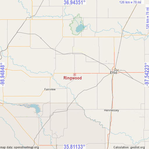
Ringwood GPS coordinates[2]
36° 22' 46.128" North, 98° 14' 43.26" West
| Map corner | latitude | longitude |
|---|---|---|
| Upper-left | 36.94351°, | -98.94848° |
| Center: | 36.37948°, | -98.24535° |
| Lower-right: | 35.81133°, | -97.54223° |
| Map W x H: | 125.9×125.9 km | = 78.2×78.2mi |
| max Lat: | 71.29058° ⇑68.6% North |
| Ringwood: | 36.37948° |
| min Lat: | ⇓31.4% South 19.06759° |
| min Long | Ringwood | max Long |
| -171.73463° | -98.24535° | -66.98998° |
| W 21%⇐ | ⇒79% E |
Elevation
Elevation of Ringwood is 409 m = 1342 ft, and this is 114.2 m = 375 ft above average elevation for this country.
| Max E: |
3189 m = 10463 ft | 15.8% |
| Ringwood | 409 m 1342 ft | |
| Avg. | 294.8 m = 967 ft | |
Min E: |
-60 m = -197 ft | 84.2% |
See also: United States elevation on elevation.city.
Geographical zone
Ringwood is located in North temperate zone (between Tropic of Cancer and the Arctic Circle). Distance of this Northern Tropic circle is 1439.1 km =894.2 mi to South.| Distance of | km | miles | from Ringwood |
|---|---|---|---|
| North Pole | 5962 | 3704.6 | to North |
| Arctic Circle | 3356.2 | 2085.4 | to North |
| Tropic Cancer | 1439.1 | 894.2 | to South |
| Equator | 4045 | 2513.4 | to South |


Nearby cities:
15 places around Ringwood: (largest is in red/bold)
• Alva
60.5 km =37.6 mi,  321°
321°
• Canton
47.5 km =29.5 mi,  220°
220°
• Cherokee
42.9 km =26.7 mi,  346°
346°
• Covington
59.6 km =37 mi,  97°
97°
• Enid
32.9 km =20.4 mi,  86°
86°
• Fairview
24.3 km =15.1 mi,  239°
239°
• Garber
59.4 km =36.9 mi,  83°
83°
• Helena
18.7 km =11.6 mi, 353°
• Hennessey
43.2 km =26.8 mi,  134°
134°
• Lahoma
14 km =8.7 mi, 86°
• North Enid
34.3 km =21.3 mi, 79°
• Okeene
30 km =18.6 mi,  192°
192°
• Pond Creek
51.1 km =31.8 mi,  50°
50°
• Waukomis
33 km =20.5 mi,  109°
109°
• Waynoka
61 km =37.9 mi,  291°
291°
Sources, notices
• [Note1] Compared only with cities in United States existing in our database
• [Src1] Map data: © OpenStreetMap contributors (CC-BY-SA)
• [Src2] Other city data from geonames.org with taken over terms of usage.
• [Src3] Geographical zone / Annual Mean Temperature by Robert A. Rohde @ Wikipedia
