Lafayette geodata
Lafayette (Tennessee) is a populated place; located in United States in America/Chicago (GMT-5) time zone. With population of 4,078 people, there are 8126 cities with bigger population in this country. Compared to other cities in United States, 69.5% of cities are located further ↑North; 53.7% of cities are located further ←West and 72.2% of cities have lower elevation than Lafayette. Note1


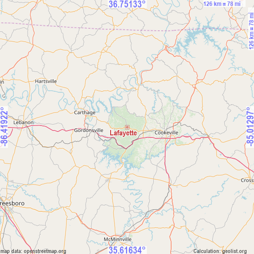
Lafayette GPS coordinates[2]
36° 11' 9.204" North, 85° 42' 57.924" West
| Map corner | latitude | longitude |
|---|---|---|
| Upper-left | 36.75133°, | -86.41922° |
| Center: | 36.18589°, | -85.71609° |
| Lower-right: | 35.61634°, | -85.01297° |
| Map W x H: | 126.2×126.2 km | = 78.4×78.4mi |
| max Lat: | 71.29058° ⇑69.5% North |
| Lafayette: | 36.18589° |
| min Lat: | ⇓30.5% South 19.06759° |
| min Long | Lafayette | max Long |
| -171.73463° | -85.71609° | -66.98998° |
| W 53.7%⇐ | ⇒46.3% E |
Elevation
Elevation of Lafayette is 297 m = 974 ft, and this is 2.2 m = 7 ft above average elevation for this country.
| Max E: |
3189 m = 10463 ft | 27.8% |
| Lafayette | 297 m 974 ft | |
| Avg. | 294.8 m = 967 ft | |
Min E: |
-60 m = -197 ft | 72.2% |
See also: United States elevation on elevation.city.
Geographical zone
Lafayette is located in North temperate zone (between Tropic of Cancer and the Arctic Circle). Distance of this Northern Tropic circle is 1417.6 km =880.9 mi to South.| Distance of | km | miles | from Lafayette |
|---|---|---|---|
| North Pole | 5983.6 | 3718 | to North |
| Arctic Circle | 3377.7 | 2098.8 | to North |
| Tropic Cancer | 1417.6 | 880.9 | to South |
| Equator | 4023.5 | 2500.1 | to South |


Nearby cities:
15 places around Lafayette: (largest is in red/bold)
• Alexandria
30.9 km =19.2 mi,  247°
247°
• Algood
24 km =14.9 mi,  87°
87°
• Baxter
7.4 km =4.6 mi,  118°
118°
• Carthage
22.4 km =13.9 mi,  289°
289°
• Cookeville
19.4 km =12.1 mi,  97°
97°
• Dodson Branch
21.7 km =13.5 mi,  49°
49°
• Doyle
41.3 km =25.7 mi,  153°
153°
• Gainesboro
19.6 km =12.2 mi,  15°
15°
• Gordonsville
19.2 km =11.9 mi,  265°
265°
• Monterey
40.4 km =25.1 mi, 96°
• Red Boiling Springs
40.5 km =25.2 mi,  342°
342°
• Smithville
26.6 km =16.5 mi,  199°
199°
• South Carthage
22.1 km =13.7 mi, 286°
• Sparta
36.7 km =22.8 mi,  141°
141°
• Watertown
38.5 km =23.9 mi,  255°
255°
Sources, notices
• [Note1] Compared only with cities in United States existing in our database
• [Src1] Map data: © OpenStreetMap contributors (CC-BY-SA)
• [Src2] Other city data from geonames.org with taken over terms of usage.
• [Src3] Geographical zone / Annual Mean Temperature by Robert A. Rohde @ Wikipedia
