San Antonio Heights geodata
San Antonio Heights (California) is a populated place; located in United States in America/Los_Angeles (GMT-7) time zone. With population of 3,371 people, there are 9040 cities with bigger population in this country. Compared to other cities in United States, 79.2% of cities are located further ↑North; 90.5% of cities are located further →East and 90.3% of cities have lower elevation than San Antonio Heights. Note1


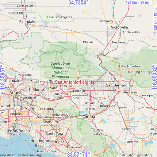
San Antonio Heights GPS coordinates[2]
34° 9' 20.016" North, 117° 39' 23.184" West
| Map corner | latitude | longitude |
|---|---|---|
| Upper-left | 34.7354°, | -118.35957° |
| Center: | 34.15556°, | -117.65644° |
| Lower-right: | 33.57171°, | -116.95332° |
| Map W x H: | 129.4×129.4 km | = 80.4×80.4mi |
| max Lat: | 71.29058° ⇑79.2% North |
| San Antonio Heights: | 34.15556° |
| min Lat: | ⇓20.8% South 19.06759° |
| min Long | San Antonio Hei | max Long |
| -171.73463° | -117.65644° | -66.98998° |
| W 9.5%⇐ | ⇒90.5% E |
Elevation
Elevation of San Antonio Heights is 648 m = 2126 ft, and this is 353.2 m = 1159 ft above average elevation for this country.
| Max E: |
3189 m = 10463 ft | 9.7% |
| San Antonio Heights | 648 m 2126 ft | |
| Avg. | 294.8 m = 967 ft | |
Min E: |
-60 m = -197 ft | 90.3% |
See also: United States elevation on elevation.city.
Geographical zone
San Antonio Heights is located in North temperate zone (between Tropic of Cancer and the Arctic Circle). Distance of this Northern Tropic circle is 1191.8 km =740.5 mi to South.| Distance of | km | miles | from San Antonio Heights |
|---|---|---|---|
| North Pole | 6209.3 | 3858.3 | to North |
| Arctic Circle | 3603.4 | 2239 | to North |
| Tropic Cancer | 1191.8 | 740.5 | to South |
| Equator | 3797.7 | 2359.8 | to South |


Nearby cities:
15 places around San Antonio Heights: (largest is in red/bold)
• Charter Oak
18.4 km =11.4 mi,  251°
251°
• Chino
16.2 km =10.1 mi,  190°
190°
• Chino Hills
20.3 km =12.6 mi,  207°
207°
• Claremont
8.8 km =5.5 mi,  221°
221°
• Diamond Bar
20 km =12.4 mi,  225°
225°
• Glendora
19.3 km =12 mi,  263°
263°
• La Verne
11.9 km =7.4 mi,  239°
239°
• Los Serranos
20.9 km =13 mi, 193°
• Lytle Creek
18.4 km =11.4 mi,  51°
51°
• Montclair
9.2 km =5.7 mi,  199°
199°
• Ontario
10.3 km =6.4 mi,  177°
177°
• Pomona
14.2 km =8.8 mi, 218°
• Rancho Cucamonga
8 km =5 mi,  133°
133°
• San Dimas
14.9 km =9.3 mi, 248°
• Upland
6.5 km =4 mi,  173°
173°
Sources, notices
• [Note1] Compared only with cities in United States existing in our database
• [Src1] Map data: © OpenStreetMap contributors (CC-BY-SA)
• [Src2] Other city data from geonames.org with taken over terms of usage.
• [Src3] Geographical zone / Annual Mean Temperature by Robert A. Rohde @ Wikipedia
