Pine Bluffs geodata
Pine Bluffs (Wyoming) is a populated place; located in United States in America/Denver (GMT-6) time zone. With population of 1,146 people, there are 15402 cities with bigger population in this country. Compared to other cities in United States, 67.7% of cities are located further ↓South; 82.7% of cities are located further →East and 97% of cities have lower elevation than Pine Bluffs. Note1


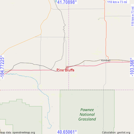
Pine Bluffs GPS coordinates[2]
41° 10' 54.948" North, 104° 4' 8.832" West
| Map corner | latitude | longitude |
|---|---|---|
| Upper-left | 41.70898°, | -104.77225° |
| Center: | 41.18193°, | -104.06912° |
| Lower-right: | 40.65061°, | -103.366° |
| Map W x H: | 117.7×117.7 km | = 73.1×73.1mi |
| max Lat: | 71.29058° ⇑32.3% North |
| Pine Bluffs: | 41.18193° |
| min Lat: | ⇓67.7% South 19.06759° |
| min Long | Pine Bluffs | max Long |
| -171.73463° | -104.06912° | -66.98998° |
| W 17.3%⇐ | ⇒82.7% E |
Elevation
Elevation of Pine Bluffs is 1539 m = 5049 ft, and this is 1244.2 m = 4082 ft above average elevation for this country.
| Max E: |
3189 m = 10463 ft | 3% |
| Pine Bluffs | 1539 m 5049 ft | |
| Avg. | 294.8 m = 967 ft | |
Min E: |
-60 m = -197 ft | 97% |
See also: United States elevation on elevation.city.
Geographical zone
Pine Bluffs is located in North temperate zone (between Tropic of Cancer and the Arctic Circle). Distance of this Northern Tropic circle is 1973.1 km =1226 mi to South.| Distance of | km | miles | from Pine Bluffs |
|---|---|---|---|
| North Pole | 5428.1 | 3372.9 | to North |
| Arctic Circle | 2822.2 | 1753.6 | to North |
| Tropic Cancer | 1973.1 | 1226 | to South |
| Equator | 4579 | 2845.3 | to South |


Nearby cities:
15 places around Pine Bluffs: (largest is in red/bold)
• Ault
86.9 km =54 mi,  219°
219°
• Bayard
89 km =55.3 mi,  44°
44°
• Cheyenne
63.1 km =39.2 mi,  265°
265°
• Fox Farm-College
60.5 km =37.6 mi,  262°
262°
• Gering
79.3 km =49.3 mi,  25°
25°
• Harrisburg
49.9 km =31 mi, 33°
• Kimball
34.5 km =21.4 mi,  79°
79°
• Minatare
84.2 km =52.3 mi, 34°
• Mitchell
87.1 km =54.1 mi,  14°
14°
• Morrill
87.7 km =54.5 mi, 7°
• Pierce
83.8 km =52.1 mi, 223°
• Ranchettes
60.5 km =37.6 mi, 273°
• Scottsbluff
83.2 km =51.7 mi,  23°
23°
• South Greeley
62.5 km =38.8 mi, 261°
• Terrytown
81.4 km =50.6 mi, 24°
Sources, notices
• [Note1] Compared only with cities in United States existing in our database
• [Src1] Map data: © OpenStreetMap contributors (CC-BY-SA)
• [Src2] Other city data from geonames.org with taken over terms of usage.
• [Src3] Geographical zone / Annual Mean Temperature by Robert A. Rohde @ Wikipedia
