Lā‘ie geodata
Lā‘ie (Hawaii) is a populated place; located in United States in Pacific/Honolulu (GMT-10) time zone. With population of 6,138 people, there are 6312 cities with bigger population in this country. Compared to other cities in United States, 99.5% of cities are located further ↑North; 99.6% of cities are located further →East and 98.8% of cities have higher elevation than Lā‘ie. Note1


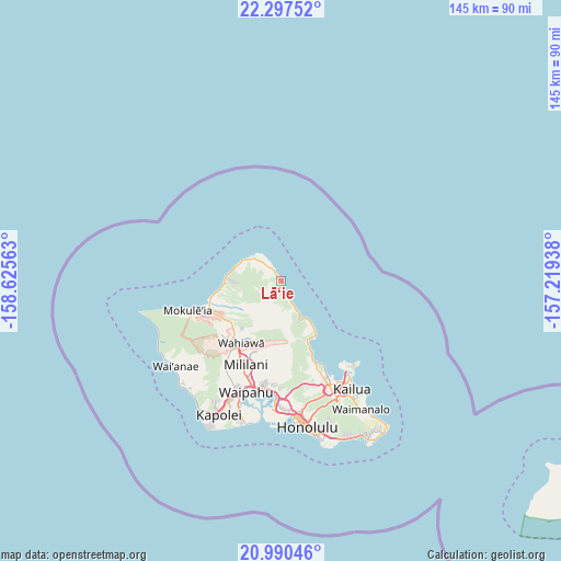
Lā‘ie GPS coordinates[2]
21° 38' 43.692" North, 157° 55' 21" West
| Map corner | latitude | longitude |
|---|---|---|
| Upper-left | 22.29752°, | -158.62563° |
| Center: | 21.64547°, | -157.9225° |
| Lower-right: | 20.99046°, | -157.21938° |
| Map W x H: | 145.3×145.3 km | = 90.3×90.3mi |
| max Lat: | 71.29058° ⇑99.5% North |
| Lā‘ie: | 21.64547° |
| min Lat: | ⇓0.5% South 19.06759° |
| min Long | Lā‘ie | max Long |
| -171.73463° | -157.9225° | -66.98998° |
| W 0.4%⇐ | ⇒99.6% E |
Elevation
Elevation of Lā‘ie is 4 m = 13 ft, and this is 290.8 m = 954 ft below average elevation for this country.
| Max E: |
3189 m = 10463 ft | 98.8% |
| Avg. | 294.8 m = 967 ft | |
| Lā‘ie | 4 m = 13 ft | |
Min E: |
-60 m = -197 ft | 1.2% |
See also: United States elevation on elevation.city.
Geographical zone
Lā‘ie is located in North Torrid zone (between Equator and Tropic of Cancer). Distance of this Northern Tropic circle is 199.2 km =123.8 mi to North.| Distance of | km | miles | from Lā‘ie |
|---|---|---|---|
| North Pole | 7600.3 | 4722.6 | to North |
| Arctic Circle | 4994.4 | 3103.4 | to North |
| Tropic Cancer | 199.2 | 123.8 | to North |
| Equator | 2406.8 | 1495.5 | to South |


Nearby cities:
15 places around Lā‘ie: (largest is in red/bold)
• Hale‘iwa
19.6 km =12.2 mi,  252°
252°
• Hau‘ula
4.4 km =2.7 mi,  161°
161°
• Kahalu‘u
22.4 km =13.9 mi, 158°
• Kahuku
5 km =3.1 mi,  321°
321°
• Ka‘a‘awa
12.5 km =7.8 mi,  143°
143°
• Mililani Town
23.2 km =14.4 mi,  200°
200°
• Punaluu
9.2 km =5.7 mi,  150°
150°
• Punalu‘u
9.6 km =6 mi, 149°
• Pupukea
14.3 km =8.9 mi,  274°
274°
• Schofield Barracks
22 km =13.7 mi,  222°
222°
• Wahiawā
19.1 km =11.9 mi,  213°
213°
• Waialua
22.9 km =14.2 mi, 250°
• Waikane
18.1 km =11.2 mi, 156°
• Waipi‘o Acres
22.2 km =13.8 mi, 205°
• Whitmore Village
18 km =11.2 mi, 215°
Sources, notices
• [Note1] Compared only with cities in United States existing in our database
• [Src1] Map data: © OpenStreetMap contributors (CC-BY-SA)
• [Src2] Other city data from geonames.org with taken over terms of usage.
• [Src3] Geographical zone / Annual Mean Temperature by Robert A. Rohde @ Wikipedia
