Guichón geodata
Guichón (Paysandú) is a populated place; located in Uruguay in America/Montevideo (GMT-3) time zone. With population of 5,051 people, there are 54 cities with bigger population in this country. Compared to other cities in Uruguay, 84.4% of cities are located further ↓South; 73.8% of cities are located further →East and 75.4% of cities have lower elevation than Guichón. Note1


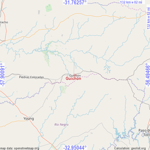
Guichón GPS coordinates[2]
32° 21' 30.456" South, 57° 11' 52.008" West
| Map corner | latitude | longitude |
|---|---|---|
| Upper-left | -31.76257°, | -57.90091° |
| Center: | -32.35846°, | -57.19778° |
| Lower-right: | -32.95044°, | -56.49466° |
| Map W x H: | 132.1×132.1 km | = 82.1×82.1mi |
| max Lat: | -30.25966° ⇑15.6% North |
| Guichón: | -32.35846° |
| min Lat: | ⇓84.4% South -34.94747° |
| min Long | Guichón | max Long |
| -58.41176° | -57.19778° | -53.38583° |
| W 26.2%⇐ | ⇒73.8% E |
Elevation
Elevation of Guichón is 94 m = 308 ft, and this is 23.4 m = 77 ft above average elevation for this country.
| Max E: |
294 m = 965 ft | 24.6% |
| Guichón | 94 m 308 ft | |
| Avg. | 70.6 m = 232 ft | |
Min E: |
2 m = 7 ft | 75.4% |
See also: Uruguay elevation on elevation.city.
Geographical zone
Guichón is located in South temperate zone (between Tropic of Capricorn and the Antarctic Circle). Distance of this Southern Tropic circle is 992 km =616.4 mi to North.| Distance of | km | miles | from Guichón |
|---|---|---|---|
| Equator | 3597.9 | 2235.6 | to North |
| Tropic Capricorn | 992 | 616.4 | to North |
| Antarctic Circle | 3803.3 | 2363.3 | to South |
| South Pole | 6409.1 | 3982.4 | to South |


Nearby cities:
15 places around Guichón: (largest is in red/bold)
• Carlos Reyles
102.9 km =63.9 mi,  138°
138°
• Curtina
104.3 km =64.8 mi,  77°
77°
• Durazno
129.9 km =80.7 mi,  151°
151°
• Estación Porvenir
61.6 km =38.3 mi,  268°
268°
• Mercedes
126.2 km =78.4 mi,  218°
218°
• Nuevo Berlín
106.1 km =65.9 mi,  229°
229°
• Paso de los Toros
81.7 km =50.8 mi,  128°
128°
• Paysandú
83.1 km =51.6 mi, 273°
• Piedras Coloradas
38.6 km =24 mi, 267°
• Quebracho
81.3 km =50.5 mi,  305°
305°
• Salto
130.5 km =81.1 mi,  326°
326°
• San Félix
84.8 km =52.7 mi, 270°
• San Javier
94.1 km =58.5 mi,  248°
248°
• Santa Bernardina
127.2 km =79 mi, 150°
• Young
55.2 km =34.3 mi, 226°
Sources, notices
• [Note1] Compared only with cities in Uruguay existing in our database
• [Src1] Map data: © OpenStreetMap contributors (CC-BY-SA)
• [Src2] Other city data from geonames.org with taken over terms of usage.
• [Src3] Geographical zone / Annual Mean Temperature by Robert A. Rohde @ Wikipedia
