Tân Hưng geodata
Tân Hưng (Long An) is a seat of a second-order administrative division; located in Vietnam in Asia/Ho_Chi_Minh (GMT+7) time zone. In our database, there are 94 cities with bigger population. Compared to other cities in Vietnam, 77.5% of cities are located further ↑North; 70.1% of cities are located further →East and 80.8% of cities have higher elevation than Tân Hưng. Note1


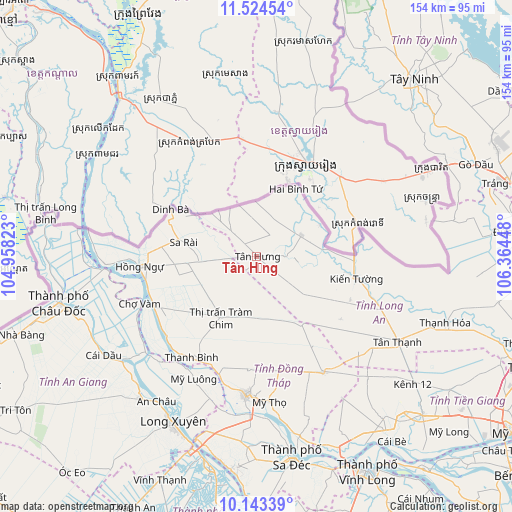
Tân Hưng GPS coordinates[2]
10° 50' 5.136" North, 105° 39' 40.86" East
| Map corner | latitude | longitude |
|---|---|---|
| Upper-left | 11.52454°, | 104.95823° |
| Center: | 10.83476°, | 105.66135° |
| Lower-right: | 10.14339°, | 106.36448° |
| Map W x H: | 153.6×153.6 km | = 95.4×95.4mi |
| max Lat: | 23.27841° ⇑77.5% North |
| Tân Hưng: | 10.83476° |
| min Lat: | ⇓22.5% South 8.65724° |
| min Long | Tân Hưng | max Long |
| 102.4579° | 105.66135° | 112.72541° |
| W 29.9%⇐ | ⇒70.1% E |
Elevation
Elevation of Tân Hưng is 6 m = 20 ft, and this is 123.5 m = 405 ft below average elevation for this country.
| Max E: |
1592 m = 5223 ft | 80.8% |
| Avg. | 129.5 m = 425 ft | |
| Tân Hưng | 6 m = 20 ft | |
Min E: |
-1 m = -3 ft | 19.2% |
See also: Vietnam elevation on elevation.city.
Geographical zone
Tân Hưng is located in North Torrid zone (between Equator and Tropic of Cancer). Distance of Equator is 1204.7 km =748.6 mi to South.| Distance of | km | miles | from Tân Hưng |
|---|---|---|---|
| North Pole | 8802.3 | 5469.5 | to North |
| Arctic Circle | 6196.5 | 3850.3 | to North |
| Tropic Cancer | 1401.2 | 870.7 | to North |
| Equator | 1204.7 | 748.6 | to South |


Nearby cities:
15 places around Tân Hưng: (largest is in red/bold)
• An Châu
52.7 km =32.7 mi,  214°
214°
• Cao Lãnh
41.8 km =26 mi,  184°
184°
• Chợ Mới
42.2 km =26.2 mi,  221°
221°
• Cái Dầu
54.4 km =33.8 mi,  237°
237°
• Long Xuyên
55.6 km =34.5 mi, 206°
• Lấp Vò
54.9 km =34.1 mi,  196°
196°
• Mỹ Thọ
43.8 km =27.2 mi, 175°
• Phú Mỹ
42.9 km =26.7 mi,  231°
231°
• Sa Rài
21.7 km =13.5 mi,  280°
280°
• Thanh Bình
36 km =22.4 mi, 212°
• Thạnh Hóa
60.1 km =37.3 mi,  109°
109°
• Tràm Chim
21.1 km =13.1 mi, 209°
• Tân Châu
46.3 km =28.8 mi,  264°
264°
• Tân Thạnh
49.2 km =30.6 mi,  121°
121°
• Vĩnh Hưng
14.9 km =9.3 mi,  65°
65°
Sources, notices
• [Note1] Compared only with cities in Vietnam existing in our database
• [Src1] Map data: © OpenStreetMap contributors (CC-BY-SA)
• [Src2] Other city data from geonames.org with taken over terms of usage.
• [Src3] Geographical zone / Annual Mean Temperature by Robert A. Rohde @ Wikipedia
