Đắk Song geodata
Đắk Song (Ðắk Nông) is a seat of a second-order administrative division; located in Vietnam in Asia/Ho_Chi_Minh (GMT+7) time zone. In our database, there are 94 cities with bigger population. Compared to other cities in Vietnam, 66.6% of cities are located further ↑North; 79.8% of cities are located further ←West and 97.4% of cities have lower elevation than Đắk Song. Note1


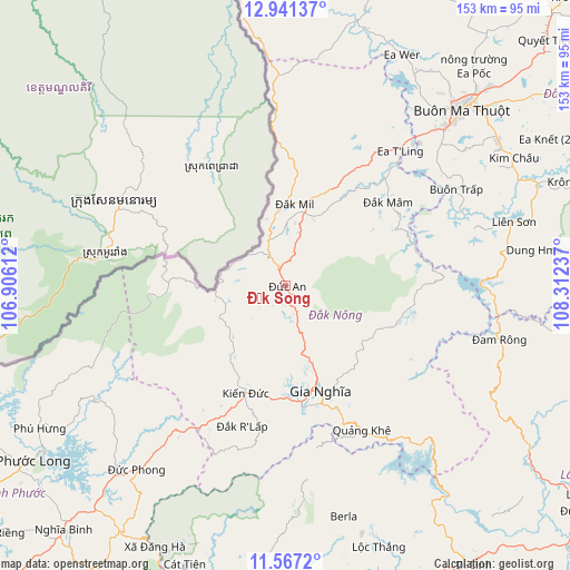
Đắk Song GPS coordinates[2]
12° 15' 18.648" North, 107° 36' 33.264" East
| Map corner | latitude | longitude |
|---|---|---|
| Upper-left | 12.94137°, | 106.90612° |
| Center: | 12.25518°, | 107.60924° |
| Lower-right: | 11.5672°, | 108.31237° |
| Map W x H: | 152.8×152.8 km | = 94.9×94.9mi |
| max Lat: | 23.27841° ⇑66.6% North |
| Đắk Song: | 12.25518° |
| min Lat: | ⇓33.4% South 8.65724° |
| min Long | Đắk Song | max Long |
| 102.4579° | 107.60924° | 112.72541° |
| W 79.8%⇐ | ⇒20.2% E |
Elevation
Elevation of Đắk Song is 899 m = 2949 ft, and this is 769.5 m = 2525 ft above average elevation for this country.
| Max E: |
1592 m = 5223 ft | 2.6% |
| Đắk Song | 899 m 2949 ft | |
| Avg. | 129.5 m = 425 ft | |
Min E: |
-1 m = -3 ft | 97.4% |
See also: Vietnam elevation on elevation.city.
Geographical zone
Đắk Song is located in North Torrid zone (between Equator and Tropic of Cancer). Distance of this Northern Tropic circle is 1243.3 km =772.6 mi to North.| Distance of | km | miles | from Đắk Song |
|---|---|---|---|
| North Pole | 8644.4 | 5371.4 | to North |
| Arctic Circle | 6038.5 | 3752.1 | to North |
| Tropic Cancer | 1243.3 | 772.6 | to North |
| Equator | 1362.6 | 846.7 | to South |


Nearby cities:
15 places around Đắk Song: (largest is in red/bold)
• Buôn Ma Thuột
65.3 km =40.6 mi,  45°
45°
• Buôn Trấp
52.3 km =32.5 mi,  60°
60°
• Bảo Lộc
81.5 km =50.6 mi,  164°
164°
• Ea T’ling
48.4 km =30.1 mi,  39°
39°
• Gia Nghĩa
29.3 km =18.2 mi, 162°
• Krông Kmar
83.3 km =51.8 mi,  70°
70°
• Lắk
64 km =39.8 mi, 74°
• Lộc Thắng
73.9 km =45.9 mi, 160°
• Quảng Phú
80.8 km =50.2 mi, 38°
• Tram de Dak Mil
21.7 km =13.5 mi,  3°
3°
• Đinh Văn
86.4 km =53.7 mi,  127°
127°
• Đạ Tẻh
83.7 km =52 mi,  188°
188°
• Đắk Mâm
35.6 km =22.1 mi, 50°
• Đồng Nai
79.7 km =49.5 mi,  199°
199°
• Đức Phong
63.1 km =39.2 mi,  218°
218°
Sources, notices
• [Note1] Compared only with cities in Vietnam existing in our database
• [Src1] Map data: © OpenStreetMap contributors (CC-BY-SA)
• [Src2] Other city data from geonames.org with taken over terms of usage.
• [Src3] Geographical zone / Annual Mean Temperature by Robert A. Rohde @ Wikipedia
