Minwakh geodata
Minwakh (Ḩaḑramawt) is a seat of a second-order administrative division; located in Yemen in Asia/Aden (GMT+3) time zone. In our database, there are 51 cities with bigger population. Compared to other cities in Yemen, 95.1% of cities are located further ↓South; 88.3% of cities are located further ←West and 70.8% of cities have higher elevation than Minwakh. Note1


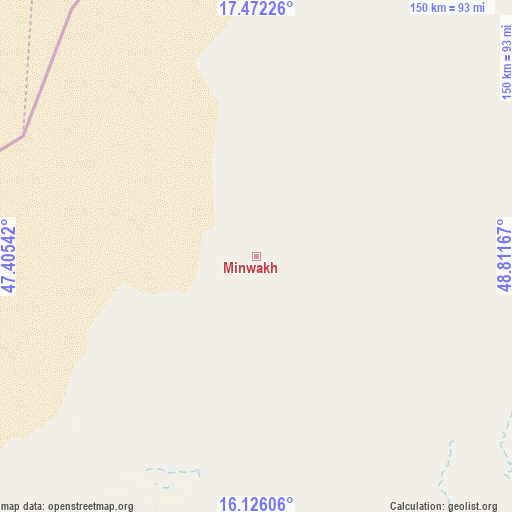
Minwakh GPS coordinates[2]
16° 48' 1.26" North, 48° 6' 30.744" East
| Map corner | latitude | longitude |
|---|---|---|
| Upper-left | 17.47226°, | 47.40542° |
| Center: | 16.80035°, | 48.10854° |
| Lower-right: | 16.12606°, | 48.81167° |
| Map W x H: | 149.7×149.7 km | = 93×93mi |
| max Lat: | 17.76999° ⇑4.9% North |
| Minwakh: | 16.80035° |
| min Lat: | ⇓95.1% South 12.18576° |
| min Long | Minwakh | max Long |
| 42.67107° | 48.10854° | 54.01895° |
| W 88.3%⇐ | ⇒11.7% E |
Elevation
Elevation of Minwakh is 820 m = 2690 ft, and this is 484.8 m = 1591 ft below average elevation for this country.
| Max E: |
2791 m = 9157 ft | 70.8% |
| Avg. | 1304.8 m = 4281 ft | |
| Minwakh | 820 m = 2690 ft | |
Min E: |
4 m = 13 ft | 29.2% |
See also: Yemen elevation on elevation.city.
Geographical zone
Minwakh is located in North Torrid zone (between Equator and Tropic of Cancer). Distance of this Northern Tropic circle is 737.9 km =458.5 mi to North.| Distance of | km | miles | from Minwakh |
|---|---|---|---|
| North Pole | 8139 | 5057.3 | to North |
| Arctic Circle | 5533.2 | 3438.2 | to North |
| Tropic Cancer | 737.9 | 458.5 | to North |
| Equator | 1868 | 1160.7 | to South |


Nearby cities:
15 places around Minwakh: (largest is in red/bold)
• Al Bilād
146.1 km =90.8 mi,  120°
120°
• Al Bāţinah
150.5 km =93.5 mi,  166°
166°
• Al Qaţan
113 km =70.2 mi,  160°
160°
• Al Ḩamdī
118.8 km =73.8 mi,  142°
142°
• Al ‘Abr
118.7 km =73.8 mi,  231°
231°
• Al ‘Ummāl
120.4 km =74.8 mi, 142°
• As Salāsil
84.9 km =52.8 mi,  114°
114°
• At Taḩāluf
120.1 km =74.6 mi, 142°
• Ath Thawrah
119.8 km =74.4 mi, 142°
• Bāḩashawān
119.6 km =74.3 mi, 142°
• Maţarah
150.5 km =93.5 mi,  199°
199°
• Suḩayl Shibām
113.6 km =70.6 mi,  150°
150°
• Tarīm
125.9 km =78.2 mi,  131°
131°
• Ḩajar al Mashā’ikh
79.2 km =49.2 mi, 201°
• Ḩurayḑah
133.9 km =83.2 mi,  176°
176°
Sources, notices
• [Note1] Compared only with cities in Yemen existing in our database
• [Src1] Map data: © OpenStreetMap contributors (CC-BY-SA)
• [Src2] Other city data from geonames.org with taken over terms of usage.
• [Src3] Geographical zone / Annual Mean Temperature by Robert A. Rohde @ Wikipedia
