As Sawādīyah geodata
As Sawādīyah (Al Bayda) is a seat of a second-order administrative division; located in Yemen in Asia/Aden (GMT+3) time zone. In our database, there are 51 cities with bigger population. Compared to other cities in Yemen, 66.6% of cities are located further ↑North; 69.5% of cities are located further ←West and 71.4% of cities have lower elevation than As Sawādīyah. Note1


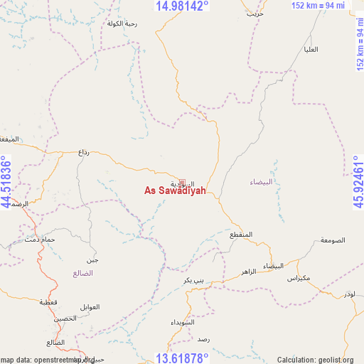
As Sawādīyah GPS coordinates[2]
14° 18' 4.068" North, 45° 13' 17.328" East
| Map corner | latitude | longitude |
|---|---|---|
| Upper-left | 14.98142°, | 44.51836° |
| Center: | 14.30113°, | 45.22148° |
| Lower-right: | 13.61878°, | 45.92461° |
| Map W x H: | 151.5×151.5 km | = 94.1×94.1mi |
| max Lat: | 17.76999° ⇑66.6% North |
| As Sawādīyah: | 14.30113° |
| min Lat: | ⇓33.4% South 12.18576° |
| min Long | As Sawādīyah | max Long |
| 42.67107° | 45.22148° | 54.01895° |
| W 69.5%⇐ | ⇒30.5% E |
Elevation
Elevation of As Sawādīyah is 1962 m = 6437 ft, and this is 657.2 m = 2156 ft above average elevation for this country.
| Max E: |
2791 m = 9157 ft | 28.6% |
| As Sawādīyah | 1962 m 6437 ft | |
| Avg. | 1304.8 m = 4281 ft | |
Min E: |
4 m = 13 ft | 71.4% |
See also: Yemen elevation on elevation.city.
Geographical zone
As Sawādīyah is located in North Torrid zone (between Equator and Tropic of Cancer). Distance of this Northern Tropic circle is 1015.8 km =631.2 mi to North.| Distance of | km | miles | from As Sawādīyah |
|---|---|---|---|
| North Pole | 8416.9 | 5230 | to North |
| Arctic Circle | 5811 | 3610.8 | to North |
| Tropic Cancer | 1015.8 | 631.2 | to North |
| Equator | 1590.1 | 988 | to South |


Nearby cities:
15 places around As Sawādīyah: (largest is in red/bold)
• Al Aqţa‘
42.5 km =26.4 mi,  19°
19°
• Al Ghaylah
50.9 km =31.6 mi,  49°
49°
• Al Qurayshīyah
46 km =28.6 mi,  300°
300°
• Al ‘Amūd
46.7 km =29 mi,  358°
358°
• Al ‘Aqabah
46.9 km =29.1 mi,  266°
266°
• An Najd
15.6 km =9.7 mi,  30°
30°
• Ash Sharyah
22.3 km =13.9 mi,  286°
286°
• Az Zāhir
46.7 km =29 mi,  142°
142°
• Banī Bakr
41.2 km =25.6 mi,  173°
173°
• Dhī Nā‘im
32.7 km =20.3 mi,  131°
131°
• Juban
49.3 km =30.6 mi,  229°
229°
• Madīnat Lab‘ūs
48.4 km =30.1 mi,  176°
176°
• Milāḩ
48.6 km =30.2 mi, 285°
• Radā‘
43.3 km =26.9 mi, 287°
• Āl Ma‘ūdah
20.5 km =12.7 mi,  119°
119°
Sources, notices
• [Note1] Compared only with cities in Yemen existing in our database
• [Src1] Map data: © OpenStreetMap contributors (CC-BY-SA)
• [Src2] Other city data from geonames.org with taken over terms of usage.
• [Src3] Geographical zone / Annual Mean Temperature by Robert A. Rohde @ Wikipedia
