Whittlesea geodata
Whittlesea (Eastern Cape) is a populated place; located in South Africa in Africa/Johannesburg (GMT+2) time zone. With population of 12,080 people, there are 195 cities with bigger population in this country. Compared to other cities in South Africa, 80.2% of cities are located further ↑North; 61.4% of cities are located further →East and 53.7% of cities have higher elevation than Whittlesea. Note1
Administrative division(s):
- Level 1: Eastern Cape
- Level 2: Chris Hani District Municipality
- Level 3: Lukanji


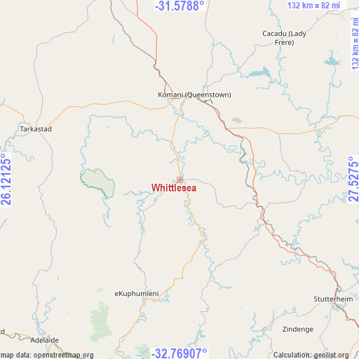
Whittlesea GPS coordinates[2]
32° 10' 33.168" South, 26° 49' 27.732" East
| Map corner | latitude | longitude |
|---|---|---|
| Upper-left | -31.5788°, | 26.12125° |
| Center: | -32.17588°, | 26.82437° |
| Lower-right: | -32.76907°, | 27.5275° |
| Map W x H: | 132.3×132.3 km | = 82.2×82.2mi |
| max Lat: | -22.34881° ⇑80.2% North |
| Whittlesea: | -32.17588° |
| min Lat: | ⇓19.8% South -34.66739° |
| min Long | Whittlesea | max Long |
| 16.8697° | 26.82437° | 32.26762° |
| W 38.6%⇐ | ⇒61.4% E |
Elevation
Elevation of Whittlesea is 1062 m = 3484 ft, and this is 92.4 m = 303 ft above average elevation for this country.
| Max E: |
1873 m = 6145 ft | 53.7% |
| Whittlesea | 1062 m 3484 ft | |
| Avg. | 969.6 m = 3181 ft | |
Min E: |
7 m = 23 ft | 46.3% |
See also: South Africa elevation on elevation.city.
Geographical zone
Whittlesea is located in South temperate zone (between Tropic of Capricorn and the Antarctic Circle). Distance of this Southern Tropic circle is 971.7 km =603.8 mi to North.| Distance of | km | miles | from Whittlesea |
|---|---|---|---|
| Equator | 3577.6 | 2223 | to North |
| Tropic Capricorn | 971.7 | 603.8 | to North |
| Antarctic Circle | 3823.6 | 2375.9 | to South |
| South Pole | 6429.4 | 3995 | to South |


Nearby cities:
15 places around Whittlesea: (largest is in red/bold)
• Adelaide
77.2 km =48 mi,  220°
220°
• Alice
68 km =42.3 mi,  179°
179°
• Bhisho
94.5 km =58.7 mi,  142°
142°
• Cala
109.7 km =68.2 mi,  48°
48°
• Cofimvaba
73.8 km =45.9 mi,  74°
74°
• Dordrecht
91.9 km =57.1 mi,  13°
13°
• Fort Beaufort
68.9 km =42.8 mi,  195°
195°
• Ilinge
30.2 km =18.8 mi,  42°
42°
• Komga
109.7 km =68.2 mi,  113°
113°
• Lady Frere
65.2 km =40.5 mi, 36°
• Molteno
97 km =60.3 mi,  333°
333°
• Queensdale
36.9 km =22.9 mi,  23°
23°
• Queenstown
31.3 km =19.4 mi, 8°
• Stutterheim
71.4 km =44.4 mi,  127°
127°
• Tarkastad
56.4 km =35 mi,  289°
289°
Sources, notices
• [Note1] Compared only with cities in South Africa existing in our database
• [Src1] Map data: © OpenStreetMap contributors (CC-BY-SA)
• [Src2] Other city data from geonames.org with taken over terms of usage.
• [Src3] Geographical zone / Annual Mean Temperature by Robert A. Rohde @ Wikipedia
