Bajram Curri geodata
Bajram Curri (Kukës) is a seat of a second-order administrative division; located in Albania in Europe/Tirane (GMT+2) time zone. In our database, there are 71 cities with bigger population. Compared to other cities in Albania, 99.4% of cities are located further ↓South; 58.3% of cities are located further ←West and 57.2% of cities have lower elevation than Bajram Curri. Note1


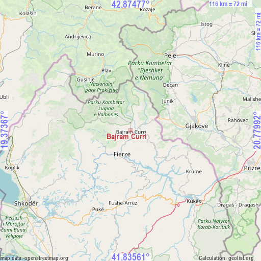
Bajram Curri GPS coordinates[2]
42° 21' 26.424" North, 20° 4' 36.444" East
| Map corner | latitude | longitude |
|---|---|---|
| Upper-left | 42.87477°, | 19.37367° |
| Center: | 42.35734°, | 20.07679° |
| Lower-right: | 41.83561°, | 20.77992° |
| Map W x H: | 115.5×115.5 km | = 71.8×71.8mi |
| max Lat: | 42.45139° ⇑0.6% North |
| Bajram Curri: | 42.35734° |
| min Lat: | ⇓99.4% South 39.65889° |
| min Long | Bajram Curri | max Long |
| 19.40556° | 20.07679° | 20.99° |
| W 58.3%⇐ | ⇒41.7% E |
Elevation
Elevation of Bajram Curri is 351 m = 1152 ft, and this is 23.6 m = 77 ft below average elevation for this country.
| Max E: |
1352 m = 4436 ft | 42.8% |
| Avg. | 374.6 m = 1229 ft | |
| Bajram Curri | 351 m = 1152 ft | |
Min E: |
-2 m = -7 ft | 57.2% |
See also: Albania elevation on elevation.city.
Geographical zone
Bajram Curri is located in North temperate zone (between Tropic of Cancer and the Arctic Circle). Distance of this Northern Tropic circle is 2103.8 km =1307.2 mi to South.| Distance of | km | miles | from Bajram Curri |
|---|---|---|---|
| North Pole | 5297.4 | 3291.7 | to North |
| Arctic Circle | 2691.5 | 1672.4 | to North |
| Tropic Cancer | 2103.8 | 1307.2 | to South |
| Equator | 4709.7 | 2926.5 | to South |


Nearby cities:
15 places around Bajram Curri: (largest is in red/bold)
• Blerim
23.8 km =14.8 mi,  156°
156°
• Bujan
3.4 km =2.1 mi,  180°
180°
• Bushat
30.2 km =18.8 mi,  208°
208°
• Bytyç
11.6 km =7.2 mi,  116°
116°
• Fajzë
30.9 km =19.2 mi,  133°
133°
• Fierzë
11.8 km =7.3 mi,  204°
204°
• Golaj
27.8 km =17.3 mi, 116°
• Iballë
19.8 km =12.3 mi, 197°
• Lekbibaj
13.8 km =8.6 mi,  239°
239°
• Llugaj
3.2 km =2 mi, 124°
• Nicaj-Shalë
23.3 km =14.5 mi,  253°
253°
• Nicaj-Shosh
29.1 km =18.1 mi, 244°
• Qafëmal
29.4 km =18.3 mi, 177°
• Shënmëri
31.1 km =19.3 mi,  154°
154°
• Valbonë
18.4 km =11.4 mi,  304°
304°
Sources, notices
• [Note1] Compared only with cities in Albania existing in our database
• [Src1] Map data: © OpenStreetMap contributors (CC-BY-SA)
• [Src2] Other city data from geonames.org with taken over terms of usage.
• [Src3] Geographical zone / Annual Mean Temperature by Robert A. Rohde @ Wikipedia
