Tashir geodata
Tashir (Lori) is a populated place; located in Armenia in Asia/Yerevan (GMT+4) time zone. With population of 7,318 people, there are 30 cities with bigger population in this country. Compared to other cities in Armenia, 96.8% of cities are located further ↓South; 72.9% of cities are located further →East and 64% of cities have lower elevation than Tashir. Note1


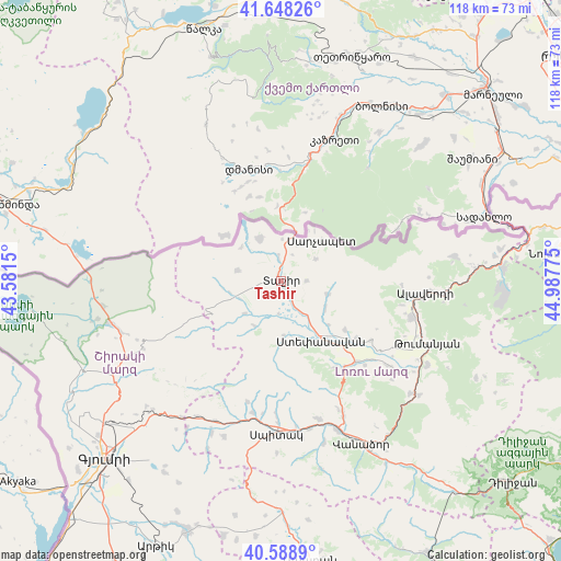
Tashir GPS coordinates[2]
41° 7' 14.592" North, 44° 17' 4.632" East
| Map corner | latitude | longitude |
|---|---|---|
| Upper-left | 41.64826°, | 43.5815° |
| Center: | 41.12072°, | 44.28462° |
| Lower-right: | 40.5889°, | 44.98775° |
| Map W x H: | 117.8×117.8 km | = 73.2×73.2mi |
| max Lat: | 41.24358° ⇑3.2% North |
| Tashir: | 41.12072° |
| min Lat: | ⇓96.8% South 38.90292° |
| min Long | Tashir | max Long |
| 43.74722° | 44.28462° | 46.5446° |
| W 27.1%⇐ | ⇒72.9% E |
Elevation
Elevation of Tashir is 1505 m = 4938 ft, and this is 203.5 m = 668 ft above average elevation for this country.
| Max E: |
2169 m = 7116 ft | 36% |
| Tashir | 1505 m 4938 ft | |
| Avg. | 1301.5 m = 4270 ft | |
Min E: |
440 m = 1444 ft | 64% |
See also: Armenia elevation on elevation.city.
Geographical zone
Tashir is located in North temperate zone (between Tropic of Cancer and the Arctic Circle). Distance of this Northern Tropic circle is 1966.3 km =1221.8 mi to South.| Distance of | km | miles | from Tashir |
|---|---|---|---|
| North Pole | 5434.9 | 3377.1 | to North |
| Arctic Circle | 2829 | 1757.9 | to North |
| Tropic Cancer | 1966.3 | 1221.8 | to South |
| Equator | 4572.2 | 2841 | to South |


Nearby cities:
15 places around Tashir: (largest is in red/bold)
• Agarak
19.7 km =12.2 mi,  128°
128°
• Alaverdi
32.7 km =20.3 mi,  94°
94°
• Arevashogh
29 km =18 mi,  181°
181°
• Bazum
31 km =19.3 mi,  155°
155°
• Gogaran
26.4 km =16.4 mi,  195°
195°
• Gyulagarak
23.2 km =14.4 mi,  137°
137°
• Metsavan
10.1 km =6.3 mi,  332°
332°
• Norashen
8.6 km =5.3 mi,  28°
28°
• Odzun
28.6 km =17.8 mi,  105°
105°
• Sarahart’
28.5 km =17.7 mi,  192°
192°
• Shirakamut
31 km =19.3 mi, 200°
• Spitak
32.1 km =19.9 mi, 182°
• Step’anavan
14.9 km =9.3 mi,  145°
145°
• Urrut
11.1 km =6.9 mi,  122°
122°
• Vardablur
25.1 km =15.6 mi, 131°
Sources, notices
• [Note1] Compared only with cities in Armenia existing in our database
• [Src1] Map data: © OpenStreetMap contributors (CC-BY-SA)
• [Src2] Other city data from geonames.org with taken over terms of usage.
• [Src3] Geographical zone / Annual Mean Temperature by Robert A. Rohde @ Wikipedia
