Norashen geodata
Norashen (Lori) is a populated place; located in Armenia in Asia/Yerevan (GMT+4) time zone. With population of 1,386 people, there are 233 cities with bigger population in this country. Compared to other cities in Armenia, 99% of cities are located further ↓South; 69.4% of cities are located further →East and 69.7% of cities have lower elevation than Norashen. Note1


Norashen GPS coordinates[2]
41° 11' 19.896" North, 44° 20' 0.096" East
| Map corner | latitude | longitude |
|---|---|---|
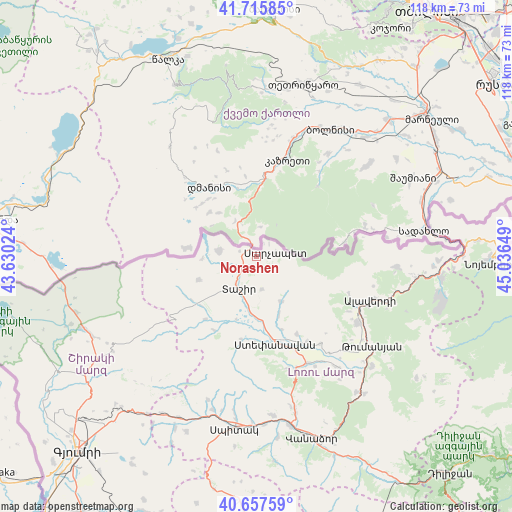
| Upper-left | 41.71585°, | 43.63024° |
| Center: | 41.18886°, | 44.33336° |
| Lower-right: | 40.65759°, | 45.03649° |
| Map W x H: | 117.7×117.7 km | = 73.1×73.1mi |
| max Lat: | 41.24358° ⇑1% North |
| Norashen: | 41.18886° |
| min Lat: | ⇓99% South 38.90292° |
| min Long | Norashen | max Long |
| 43.74722° | 44.33336° | 46.5446° |
| W 30.6%⇐ | ⇒69.4% E |
Elevation
Elevation of Norashen is 1586 m = 5203 ft, and this is 284.5 m = 933 ft above average elevation for this country.
| Max E: |
2169 m = 7116 ft | 30.3% |
| Norashen | 1586 m 5203 ft | |
| Avg. | 1301.5 m = 4270 ft | |
Min E: |
440 m = 1444 ft | 69.7% |
See also: Armenia elevation on elevation.city.
Geographical zone
Norashen is located in North temperate zone (between Tropic of Cancer and the Arctic Circle). Distance of this Northern Tropic circle is 1973.9 km =1226.5 mi to South.| Distance of | km | miles | from Norashen |
|---|---|---|---|
| North Pole | 5427.3 | 3372.4 | to North |
| Arctic Circle | 2821.4 | 1753.1 | to North |
| Tropic Cancer | 1973.9 | 1226.5 | to South |
| Equator | 4579.8 | 2845.8 | to South |


Nearby cities:
15 places around Norashen: (largest is in red/bold)
• Agarak
22.8 km =14.2 mi,  150°
150°
• Akht’ala
35.6 km =22.1 mi,  93°
93°
• Alaverdi
30.2 km =18.8 mi,  109°
109°
• Arevashogh
36.9 km =22.9 mi,  187°
187°
• Bazum
36.8 km =22.9 mi,  165°
165°
• Dsegh
36.6 km =22.7 mi,  133°
133°
• Gogaran
34.8 km =21.6 mi,  198°
198°
• Gyulagarak
27.2 km =16.9 mi, 154°
• Metsavan
8.9 km =5.5 mi,  279°
279°
• Odzun
27.9 km =17.3 mi,  122°
122°
• Sarahart’
36.8 km =22.9 mi, 195°
• Step’anavan
20.4 km =12.7 mi, 167°
• Tashir
8.6 km =5.3 mi,  208°
208°
• Urrut
14.5 km =9 mi,  158°
158°
• Vardablur
28.4 km =17.6 mi, 148°
Sources, notices
• [Note1] Compared only with cities in Armenia existing in our database
• [Src1] Map data: © OpenStreetMap contributors (CC-BY-SA)
• [Src2] Other city data from geonames.org with taken over terms of usage.
• [Src3] Geographical zone / Annual Mean Temperature by Robert A. Rohde @ Wikipedia
