Darpas geodata
Darpas (Lori) is a populated place; located in Armenia in Asia/Yerevan (GMT+4) time zone. With population of 1,785 people, there are 184 cities with bigger population in this country. Compared to other cities in Armenia, 87.3% of cities are located further ↓South; 58.9% of cities are located further →East and 54.5% of cities have lower elevation than Darpas. Note1


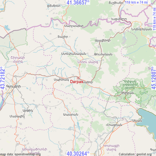
Darpas GPS coordinates[2]
40° 50' 12.264" North, 44° 25' 29.784" East
| Map corner | latitude | longitude |
|---|---|---|
| Upper-left | 41.36657°, | 43.72182° |
| Center: | 40.83674°, | 44.42494° |
| Lower-right: | 40.30264°, | 45.12807° |
| Map W x H: | 118.3×118.3 km | = 73.5×73.5mi |
| max Lat: | 41.24358° ⇑12.7% North |
| Darpas: | 40.83674° |
| min Lat: | ⇓87.3% South 38.90292° |
| min Long | Darpas | max Long |
| 43.74722° | 44.42494° | 46.5446° |
| W 41.1%⇐ | ⇒58.9% E |
Elevation
Elevation of Darpas is 1377 m = 4518 ft, and this is 75.5 m = 248 ft above average elevation for this country.
| Max E: |
2169 m = 7116 ft | 45.5% |
| Darpas | 1377 m 4518 ft | |
| Avg. | 1301.5 m = 4270 ft | |
Min E: |
440 m = 1444 ft | 54.5% |
See also: Armenia elevation on elevation.city.
Geographical zone
Darpas is located in North temperate zone (between Tropic of Cancer and the Arctic Circle). Distance of this Northern Tropic circle is 1934.7 km =1202.2 mi to South.| Distance of | km | miles | from Darpas |
|---|---|---|---|
| North Pole | 5466.4 | 3396.7 | to North |
| Arctic Circle | 2860.6 | 1777.5 | to North |
| Tropic Cancer | 1934.7 | 1202.2 | to South |
| Equator | 4540.6 | 2821.4 | to South |


Nearby cities:
15 places around Darpas: (largest is in red/bold)
• Arevashogh
12.9 km =8 mi,  281°
281°
• Bazum
3.7 km =2.3 mi,  19°
19°
• Gugark’
10.3 km =6.4 mi,  110°
110°
• Gyulagarak
15 km =9.3 mi, 15°
• Lerrnants’k’
13.5 km =8.4 mi,  250°
250°
• Lerrnapat
3.6 km =2.2 mi,  228°
228°
• Sarahart’
18.1 km =11.2 mi, 281°
• Saramej
18.4 km =11.4 mi, 248°
• Shahumyan
12.3 km =7.6 mi,  124°
124°
• Spitak
13.3 km =8.3 mi,  267°
267°
• Step’anavan
19.5 km =12.1 mi,  350°
350°
• Vahagni
17.3 km =10.7 mi,  63°
63°
• Vanadzor
6.8 km =4.2 mi, 121°
• Vardablur
16.5 km =10.3 mi,  25°
25°
• Yeghegnut
18.9 km =11.7 mi,  67°
67°
Sources, notices
• [Note1] Compared only with cities in Armenia existing in our database
• [Src1] Map data: © OpenStreetMap contributors (CC-BY-SA)
• [Src2] Other city data from geonames.org with taken over terms of usage.
• [Src3] Geographical zone / Annual Mean Temperature by Robert A. Rohde @ Wikipedia
